Home › Navigation

 BE
BE
 DEde-DE
 CHde-CH
 USen-US
 NLnl
NLnl FRfr-FR
 GBen-GB
 AUen-AU
 ATde-DEBEen-GB
 CAen-CA
 ZAen-GB
 ITit
ITit PLen-GB
 ESes-ES
 NZen-AU
 RUru
RUru SEsv
SEsv DKen-GB
 SIen-GB
 JPja
JPja NOen-GB
 HKzh-Hant-HK
 HRen-GB
 SKen-GB
 CNzh-Hans-CN
 FIen-GB
 PTpt-PT
 ROen-GB
 BGen-GB
 CZen-GB
 GRen-GB
 IDen-GB
 ILen-GB
 LUen-GB
 HUen-GB
 THen-GB
 TRen-GB
 UAen-GB
 ISen-GB
 KRko
KRko LAen-GB
 MDen-GB
 PHen-GB
 SGen-GB
 TZen-GB
 AEen-GB
 AFen-GB
 ALen-GB
 AMen-GB
 AZen-GB
 BAen-GB
 BHen-GB
 BMen-GB
 BNen-GB
 BOes-MX
 BTen-GB
 BWen-GB
 BYen-GB
 CYen-GB
 EEen-GB
 EGen-GB
 FJen-GB
 FMen-GB
 GEen-GB
 GHen-GB
 GWen-GB
 IEen-GB
 INen-GB
 IQen-GB
 JOen-GB
 KGen-GB
 KHen-GB
 KWen-GB
 KZen-GB
 LBen-GB
 LKen-GB
 LTen-GB
 LVen-GB
 LYen-GB
 MAen-GB
 MEen-GB
 MKen-GB
 MMen-GB
 MNen-GB
 MOzh-Hant-HK
 MRen-GB
 MSen-GB
 MTen-GB
 MVen-GB
 MYen-GB
 NGen-GB
 NPen-GB
 NRen-GB
 OMen-GB
 PGen-GB
 PKen-GB
 PWen-GB
 PYes-MX
 QAen-GB
 RSen-GB
 SAen-GB
 SBen-GB
 SZen-GB
 TCen-GB
 TJen-GB
 TMen-GB
 TNen-GB
 TOen-GB
 TTen-GB
 TWzh-Hant-TW
 UYen-GB
 UZen-GB
 VGen-GB
 VNen-GB
 VUen-GB
 XKen-GB
 YEen-GB
117 of 117 storefronts
Content in en-GB
Content in en-GB
Information
Preview 2 platforms
iPhone 6 images




iPad 6 images




What’s New Version 3.4.13
- fixed bug in dashboard
Description
“MapOut saves the day by using a simple interface to draw routes, and check out elevation profiles… I’m pretty blown away by its capabilities.” – Alee from cyclingabout.com
Offline map covering the whole world for iPhone and iPad. Almost as beautiful as a paper map - only more versatile.
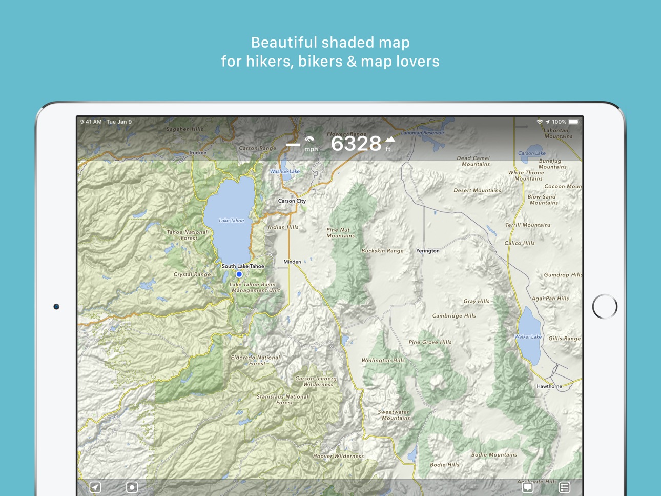
- For hikers: With an easy-to-read representation of the terrain, even in the furthest corners without internet
- For cyclists: With cycling route network, speed and distance display
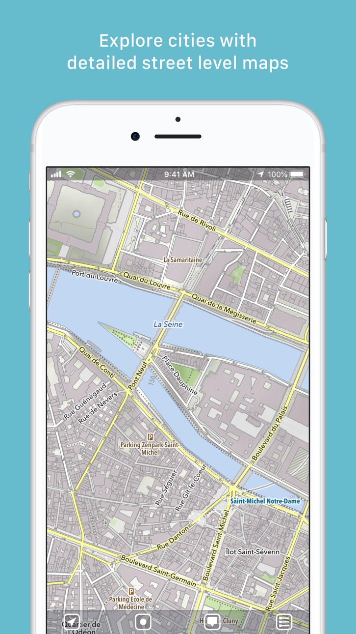
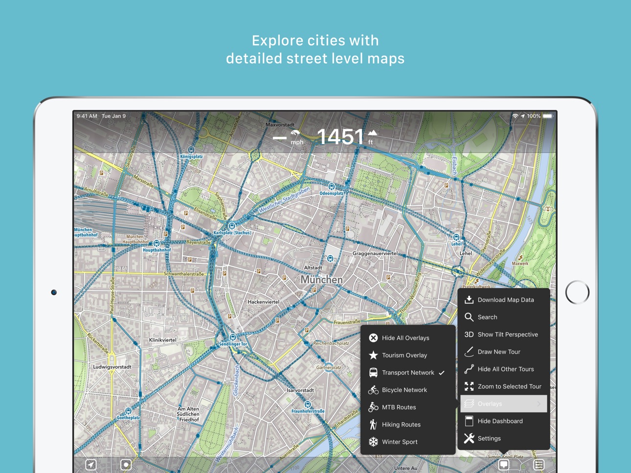
- For city travelers: City maps with tourist information
- For the connoisseur: Simply beautiful map to look at
3D tilt view
- Tilt the device in any direction to get a better impression of the terrain. More information on https://mapout.app.
Search feature
- Search for places, streets, mountains, etc. No internet connection required.
Map material
- MapOut is based on the OpenStreetMap project, the “Wikipedia of Maps” - you can make corrections and additions yourself on OpenStreetMap.org. The latest maps are delivered with periodic updates.
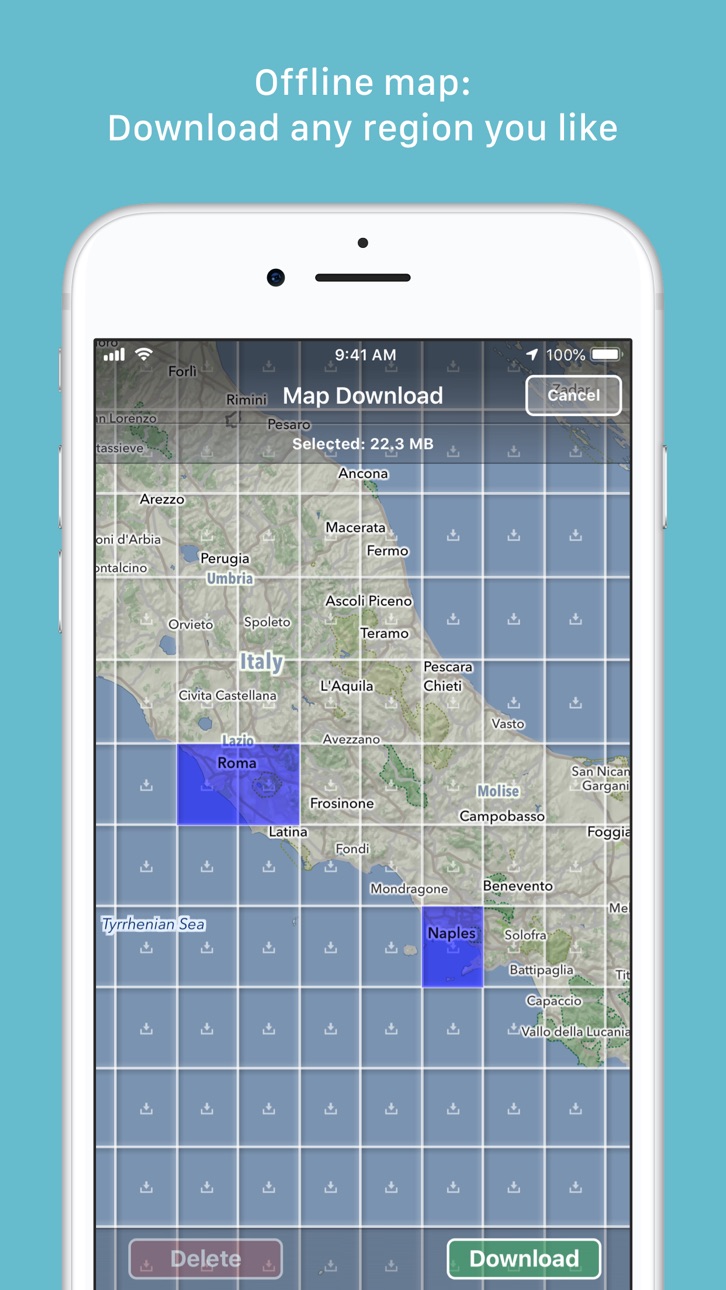
- Download the regions of your choice - the maps can now be displayed without an internet connection (offline map).
Tours
- Drawing: Draw your own routes and waypoints directly on the map. Retouch existing tours and imported GPX files or let them directly snap to the road network.
- Import: With a free “MapOut.me” account you can send directions by email to your device. GPS-Tours can be found as gpx or kml files on many websites with tips for hiking or biking (e.g. on www.gpsies.com)
Record: Take recordings of your own tours and share them with friends.
Information: Quick overview of each tour - length, altitude change, map section and route profile
Map view
- Fast map display (hardware accelerated)
- Step-free zoom, always a pixel-perfect map
- Topographical map with contour lines and shading
- Selectable overlays: Bike/hike/ski routes, sightseeing, public transport
Find all answers to your questions in our user manual: https://mapout.app/manual
Map data © OpenStreetMap contributors (https://www.openstreetmap.org/copyright)
Accessibility
ipadiphonemacrealityDevicetvoswatch
Version history 25 versions
Build 875109791v3.4.132025-05-27 20:24:29
- fixed bug in dashboard
Build 862061805v3.4.122023-12-09 06:07:30
- various bug fixes
Build 853299846v3.4.112022-11-18 16:09:43
- various bug fixes
- iOS 16 adaptations
Build 849759346v3.4.102022-06-03 12:10:56
- various bug fixes
- added new icons for your waypoint markers
Build 843949456v3.4.92021-09-04 12:06:02
- various bug fixes
Build 842132343v3.4.82021-05-09 09:14:47
- various bug fixes
Build 840377204v3.4.72021-02-12 08:54:30
- We have added house numbers (this requires updating the map data on the device)
- various bug fixes
Build 838558596v3.4.62020-11-29 19:48:20
- various bug fixes
- adaptation for new iPhone devices
Build 838247434v3.4.52020-10-17 14:38:46
- various bug fixes (sharing tours, missing elements on map)
Build 837811860v3.4.42020-09-17 10:34:16
- Plan your tour even better: The dashboard now displays estimated walking and cycling times for selected routes in real time
- Tour organizer: For all your tours, walking and cycling times are given. With a tap on the times you can switch between: walking, cycling or the recorded time
- Map improvements and bug fixes
Build 837477588v3.4.32020-08-23 20:17:15
- fixed a crash on some devices during startup
Build 837372226v3.4.22020-08-15 11:32:03
- Optimized manual map rotation behavior
- Added setting to disable manual map rotation altogether
- Minor bug fixes
Build 837181504v3.4.12020-08-03 20:20:52
- fixes some new bugs
3.4:
- Rotate the map freely in any direction you like
- Search has been completely revised: better, search-as-you-type results, distance display and the possibility to add waypoints from the search results
- Improved map style
- Many reported bugs fixed (e.g. export of ZIP files with special characters, dashboard problems and more)
Build 837030693v3.42020-07-29 21:46:36
- Rotate the map freely in any direction you like
- Search has been completely revised: better, search-as-you-type results, distance display and the possibility to add waypoints from the search results
- Improved map style
- Many reported bugs fixed (e.g. export of ZIP files with special characters, dashboard problems and more)
Build 834501518v3.3.62020-01-28 17:27:47
- minor bug fixes
Build 834101117v3.3.52019-12-23 21:44:46
- minor bug fixes
Build 833910650v3.3.42019-12-07 14:12:28
- fixed some altitude display related bugs
Build 833828601v3.3.32019-12-04 19:47:07
- improved ascent/descent calculation
- improved recording of tours
- fixed some bugs
Build 833339085v3.3.22019-10-25 23:48:24
- Various bug fixes
Build 832956084v3.3.12019-09-28 10:44:47
- Various bug fixes
Build 832819138v3.32019-09-19 16:07:46
By popular request: In the tour organizer you can now make a multi-selection of tours and share, edit or move several elements in one go
- Added icons for mines, quarries and springs
- Improvements in the mountain bike overlay, supplemented by a dot pattern to indicate difficulty
- Enhancements to contour lines and text labels
- iOS 13 adjustments
Build 832413460v3.2.42019-08-16 23:35:54
- Added icons for fireplaces and playgrounds
- Bug fixes (mostly in export / backup)
Build 832242041v3.2.32019-08-03 19:40:26
- Bulk export / backup of all tours (Settings – Tour Organizer – Backup Tours)
- Minor bug fixes
Build 831963161v3.2.22019-07-11 12:48:47
- Improvements for Dutch cyclists
- Workaround for Garmin Connect interoperability
- New round of bug fixes
Build 831913591v3.2.12019-07-06 20:04:18
- Many reported bugs have been fixed
- Added new setting to permanently display map scale
Version 3.2
- Colors! Select different colors for your waypoints and tours
- Choose unique icons for your waypoints
- Drawing/routing tours has been enhanced: You can now choose between different routing options (hiking, biking, shortest and freeform) and select the street width and elevation preference
- Many improvements to our map style: We now added much more icons for rural areas to find drinking water, picnic sites, shelters/huts, caves, etc.
- Overlays are now selectable directly on the main menu
Price history by region
Currency
Show
Columns
Search
Availability 117 of 117 storefronts
| Region | Language | Price | Ratings | Avg | Version |
|---|---|---|---|---|---|
| DE | de-DE | EUR 5.99 | 778 | 4.8 | 3.4.13 |
| CH | de-CH | CHF 5 | 516 | 4.9 | 3.4.13 |
| US | en-US | USD 4.99 | 136 | 4.9 | 3.4.13 |
| NL | nl | EUR 5.99 | 108 | 4.9 | 3.4.13 |
| FR | fr-FR | EUR 5.99 | 105 | 4.9 | 3.4.13 |
| GB | en-GB | GBP 4.99 | 104 | 4.9 | 3.4.13 |
| AU | en-AU | AUD 7.99 | 70 | 4.6 | 3.4.13 |
| AT | de-DE | EUR 5.99 | 50 | 4.9 | 3.4.13 |
| BE | en-GB | EUR 5.99 | 39 | 5.0 | 3.4.13 |
| CA | en-CA | CAD 6.99 | 32 | 5.0 | 3.4.13 |
| ZA | en-GB | ZAR 99.99 | 17 | 4.6 | 3.4.13 |
| IT | it | EUR 5.99 | 16 | 4.6 | 3.4.13 |
| PL | en-GB | PLN 24.99 | 16 | 4.6 | 3.4.13 |
| ES | es-ES | EUR 5.99 | 15 | 4.7 | 3.4.13 |
| NZ | en-AU | NZD 9.99 | 14 | 4.9 | 3.4.13 |
| RU | ru | RUB 449 | 10 | 4.9 | 3.4.13 |
| SE | sv | SEK 69 | 9 | 5.0 | 3.4.13 |
| DK | en-GB | DKK 39 | 7 | 4.6 | 3.4.13 |
| SI | en-GB | EUR 5.99 | 7 | 5.0 | 3.4.13 |
| JP | ja | JPY 800 | 6 | 5.0 | 3.4.13 |
| NO | en-GB | NOK 59 | 6 | 5.0 | 3.4.13 |
| HK | zh-Hant-HK | HKD 38 | 5 | 5.0 | 3.4.13 |
| HR | en-GB | EUR 5.99 | 5 | 5.0 | 3.4.13 |
| SK | en-GB | EUR 5.99 | 5 | 4.8 | 3.4.13 |
| CN | zh-Hans-CN | CNY 38 | 4 | 5.0 | 3.4.13 |
| FI | en-GB | EUR 5.99 | 4 | 5.0 | 3.4.13 |
| PT | pt-PT | EUR 5.99 | 4 | 5.0 | 3.4.13 |
| RO | en-GB | RON 29.99 | 4 | 5.0 | 3.4.13 |
| BG | en-GB | EUR 5.99 | 3 | 5.0 | 3.4.13 |
| CZ | en-GB | CZK 129 | 3 | 5.0 | 3.4.13 |
| GR | en-GB | EUR 5.99 | 3 | 5.0 | 3.4.13 |
| ID | en-GB | IDR 89000 | 3 | 4.7 | 3.4.13 |
| IL | en-GB | ILS 17.9 | 3 | 4.7 | 3.4.13 |
| LU | en-GB | EUR 5.99 | 3 | 5.0 | 3.4.13 |
| HU | en-GB | HUF 1990 | 2 | 5.0 | 3.4.13 |
| TH | en-GB | THB 199 | 2 | 5.0 | 3.4.13 |
| TR | en-GB | TRY 249.99 | 2 | 3.0 | 3.4.13 |
| UA | en-GB | USD 5.99 | 2 | 5.0 | 3.4.13 |
| IS | en-GB | USD 5.99 | 1 | 5.0 | 3.4.13 |
| KR | ko | KRW 7700 | 1 | 5.0 | 3.4.13 |
| LA | en-GB | USD 4.99 | 1 | 4.0 | 3.4.13 |
| MD | en-GB | USD 5.99 | 1 | 5.0 | 3.4.13 |
| PH | en-GB | PHP 299 | 1 | 5.0 | 3.4.13 |
| SG | en-GB | SGD 6.98 | 1 | 4.0 | 3.4.13 |
| TZ | en-GB | TZS 14900 | 1 | 5.0 | 3.4.13 |
| AE | en-GB | AED 19.99 | 0 | — | 3.4.13 |
| AF | en-GB | USD 4.99 | 0 | — | 3.4.13 |
| AL | en-GB | USD 5.99 | 0 | — | 3.4.13 |
| AM | en-GB | USD 5.99 | 0 | — | 3.4.13 |
| AZ | en-GB | USD 5.99 | 0 | — | 3.4.13 |
| BA | en-GB | EUR 5.99 | 0 | — | 3.4.13 |
| BH | en-GB | USD 4.99 | 0 | — | 3.4.13 |
| BM | en-GB | USD 4.99 | 0 | — | 3.4.13 |
| BN | en-GB | USD 4.99 | 0 | — | 3.4.13 |
| BO | es-MX | USD 4.99 | 0 | — | 3.4.13 |
| BT | en-GB | USD 4.99 | 0 | — | 3.4.13 |
| BW | en-GB | USD 4.99 | 0 | — | 3.4.13 |
| BY | en-GB | USD 5.99 | 0 | — | 3.4.13 |
| CY | en-GB | EUR 5.99 | 0 | — | 3.4.13 |
| EE | en-GB | EUR 5.99 | 0 | — | 3.4.13 |
| EG | en-GB | EGP 249.99 | 0 | — | 3.4.13 |
| FJ | en-GB | USD 4.99 | 0 | — | 3.4.13 |
| FM | en-GB | USD 4.99 | 0 | — | 3.4.13 |
| GE | en-GB | USD 5.99 | 0 | — | 3.4.13 |
| GH | en-GB | USD 5.99 | 0 | — | 3.4.13 |
| GW | en-GB | USD 4.99 | 0 | — | 3.4.13 |
| IE | en-GB | EUR 5.99 | 0 | — | 3.4.13 |
| IN | en-GB | INR 499 | 0 | — | 3.4.13 |
| IQ | en-GB | USD 4.99 | 0 | — | 3.4.13 |
| JO | en-GB | USD 4.99 | 0 | — | 3.4.13 |
| KG | en-GB | USD 4.99 | 0 | — | 3.4.13 |
| KH | en-GB | USD 4.99 | 0 | — | 3.4.13 |
| KW | en-GB | USD 4.99 | 0 | — | 3.4.13 |
| KZ | en-GB | KZT 2990 | 0 | — | 3.4.13 |
| LB | en-GB | USD 4.99 | 0 | — | 3.4.13 |
| LK | en-GB | USD 4.99 | 0 | — | 3.4.13 |
| LT | en-GB | EUR 5.99 | 0 | — | 3.4.13 |
| LV | en-GB | EUR 5.99 | 0 | — | 3.4.13 |
| LY | en-GB | USD 4.99 | 0 | — | 3.4.13 |
| MA | en-GB | USD 4.99 | 0 | — | 3.4.13 |
| ME | en-GB | EUR 4.99 | 0 | — | 3.4.13 |
| MK | en-GB | USD 4.99 | 0 | — | 3.4.13 |
| MM | en-GB | USD 4.99 | 0 | — | 3.4.13 |
| MN | en-GB | USD 4.99 | 0 | — | 3.4.13 |
| MO | zh-Hant-HK | USD 4.99 | 0 | — | 3.4.13 |
| MR | en-GB | USD 4.99 | 0 | — | 3.4.13 |
| MS | en-GB | USD 4.99 | 0 | — | 3.4.13 |
| MT | en-GB | EUR 5.99 | 0 | — | 3.4.13 |
| MV | en-GB | USD 4.99 | 0 | — | 3.4.13 |
| MY | en-GB | MYR 22.9 | 0 | — | 3.4.13 |
| NG | en-GB | NGN 7900 | 0 | — | 3.4.13 |
| NP | en-GB | USD 5.99 | 0 | — | 3.4.13 |
| NR | en-GB | USD 4.99 | 0 | — | 3.4.13 |
| OM | en-GB | USD 4.99 | 0 | — | 3.4.13 |
| PG | en-GB | USD 4.99 | 0 | — | 3.4.13 |
| PK | en-GB | PKR 1300 | 0 | — | 3.4.13 |
| PW | en-GB | USD 4.99 | 0 | — | 3.4.13 |
| PY | es-MX | USD 4.99 | 0 | — | 3.4.13 |
| QA | en-GB | QAR 19.99 | 0 | — | 3.4.13 |
| RS | en-GB | EUR 5.99 | 0 | — | 3.4.13 |
| SA | en-GB | SAR 19.99 | 0 | — | 3.4.13 |
| SB | en-GB | USD 4.99 | 0 | — | 3.4.13 |
| SZ | en-GB | USD 4.99 | 0 | — | 3.4.13 |
| TC | en-GB | USD 4.99 | 0 | — | 3.4.13 |
| TJ | en-GB | USD 4.99 | 0 | — | 3.4.13 |
| TM | en-GB | USD 4.99 | 0 | — | 3.4.13 |
| TN | en-GB | USD 4.99 | 0 | — | 3.4.13 |
| TO | en-GB | USD 4.99 | 0 | — | 3.4.13 |
| TT | en-GB | USD 4.99 | 0 | — | 3.4.13 |
| TW | zh-Hant-TW | TWD 150 | 0 | — | 3.4.13 |
| UY | en-GB | USD 4.99 | 0 | — | 3.4.13 |
| UZ | en-GB | USD 4.99 | 0 | — | 3.4.13 |
| VG | en-GB | USD 4.99 | 0 | — | 3.4.13 |
| VN | en-GB | VND 149000 | 0 | — | 3.4.13 |
| VU | en-GB | USD 4.99 | 0 | — | 3.4.13 |
| XK | en-GB | EUR 5.99 | 0 | — | 3.4.13 |
| YE | en-GB | USD 4.99 | 0 | — | 3.4.13 |
Reviews 15 reviews · BE
★★★★★
Nouvel utilisateur
Je débute mais j’adore ce type d’app de cartographie simple!
Vincenzoski2026-02-08
★★★★★
Soon a new version for iOS26/iPadOS26 ?
Hi Mapout ! Such a great great app deserves a little Liquid Glass refresh 🙏🏼
fredash2025-09-25
★★★★★
Best map app out there
I’ve pushed this app to it’s absolute limits and let me tell you that from the middle Sahara desert, to the top of some completely lost Mountains or even in the middle on nowhere trough volcanic land, this app never failed me once.
It’s a must have, very intuitive, consume nearly no battery with a 100% truly offline maps. You can import KLM and GPX file super easily into the app, read topography, terrain altitude, see points of interest.
A lot of hiking trails are pixel perfect accurate and trust me, the app have all the hiking trail you can think of, even the oldest or some you don’t know at
Julienlaurent02023-08-28
★★★★★
Wonderful app for hiking
This app is a must have for hiking. The quality of the offline maps is just astonishing! There is a possibility to calculate distance between two points on a gpx. You can even know elevation, distance for this track, or a section of this track.
You can also draw a path on the map by hand. Wow!! It makes it a must have!
XavierL2022-07-25
★★★★★
Powerfull, simple to use and affordable
Very easy to use. Detailed charts easy to read and offline available. Is the must have app for every hiker
WAM-DAnny2022-04-21
★★★★★
Excellent
Simply the best of the lightest GPS apps. I just wish they would add the option of displaying a grid with scale-size squares
Slimsegi2021-11-24
★★★★★
Top
Een GPS-app zoals je verwacht. Geen problemen, geen verassingen, geen teleurstellingen. Niet ingewikkeld en geen leerfase nodig om de app te kunnen gebruiken. TOP!
Finn's Best Friend2021-10-15
★★★★★
Search no longer
Best app for gps navigation!
No turn by turn, but for the rest:
- best graphic design of the Maps
- realy easy to use
- easy to draw
- easy to analyse distances and elevation profile
The best
Vanobbergen2021-08-11
★★★★★
Excellent !
Ultra simple à utiliser, vous ne chargez que les parties de cartes qu’il vous faut en détails.
Directement avec tous les détails et courbes de niveau.
Un compte gratuit vous permet d’envoyer et recevoir des trajets GPX vers et de l’application, simple et génial.
Peu d’options mais tout y est !
MME0082020-04-26
★★★★★
Fantastic!
This app is really fantastic. You need have a quick glimpse of the manual to use all of its many useful features, but fear not, it’s really intuitive and easy to use. No data usage or roaming needed as all maps are free to download onto the iOS device. Huge choice of great quality maps worldwide and as stated completely free of charge. Downloading GPX or KML files is a breeze. You can create folders (see manual) to store files by region or country. No hidden costs, as only a very small one time buy for the app. Fantastic indeed!
guyph72019-08-18
★★★★★
Exactly what I want!
This app is excellent. It combines several other apps in one app!
Kellnerk2019-07-01
★★★★★
Amazing
This app is really amazing! I tried a lot of different GPS apps but this one does it all. And no subscription! Thank you.
thecyclechef2019-03-10
★★★★★
All smiles
The best gps app one can wish. When saying 'extremely user friendly' it covers all. Since I have this app, I don't spend any minute anymore creating routes on the internet. Now I make them offline during the day or in my tent in the evening, and use them instantly or the following day on my bike. Just great! Thanks a lot!
Iktrtr2017-08-04
★★★★★
Le meilleur
MapOut est de loin la meilleur me app dans son genre que j'ai essayé, et j'en ai pas mal à mon actif. La fonction tracer un itinéraire au doigt est tout bonnement fantastique, et les grands itinéraires cyclables et piétons sont présents. Bien entendu, c'est basé sur openstreetmap, l'assurance d'avoir d'excellentes cartes complètes et bien à jour en général.
Pagaillebxl2017-07-07
Change log 29 changes · BE
✎
releaseNotes updated
- fixed bug in dashboard
✎
description updated
“MapOut saves the day with its intuitive interface for drawing routes and viewing elevation profiles. I’m genuinely impressed by its powerful features!” – Alee,
✎
subtitle updated
Beautiful hiking & cycling map
✎
name updated
MapOut
◆
Version 3.4.13 released
- fixed bug in dashboard
◆
Version 3.4.12 released
- various bug fixes
◆
Version 3.4.11 released
- various bug fixes
- iOS 16 adaptations
◆
Version 3.4.10 released
- various bug fixes
- added new icons for your waypoint markers
◆
Version 3.4.9 released
- various bug fixes
◆
Version 3.4.8 released
- various bug fixes
◆
Version 3.4.7 released
- We have added house numbers (this requires updating the map data on the device)
- various bug fixes
◆
Version 3.4.6 released
- various bug fixes
- adaptation for new iPhone devices
◆
Version 3.4.5 released
- various bug fixes (sharing tours, missing elements on map)
◆
Version 3.4.4 released
- Plan your tour even better: The dashboard now displays estimated walking and cycling times for selected routes in real time
- Tour organizer: For all your tours, walking and cycling times are given. With a tap on the times you can switch
◆
Version 3.4.3 released
- fixed a crash on some devices during startup
◆
Version 3.4.2 released
- Optimized manual map rotation behavior
- Added setting to disable manual map rotation altogether
- Minor bug fixes
◆
Version 3.4.1 released
- fixes some new bugs
3.4:
- Rotate the map freely in any direction you like
- Search has been completely revised: better, search-as-you-type results, distance display and the possibility to add waypoints from the search results
- Improved
◆
Version 3.4 released
- Rotate the map freely in any direction you like
- Search has been completely revised: better, search-as-you-type results, distance display and the possibility to add waypoints from the search results
- Improved map style
- Many reported b
◆
Version 3.3.6 released
- minor bug fixes
◆
Version 3.3.5 released
- minor bug fixes
◆
Version 3.3.4 released
- fixed some altitude display related bugs
◆
Version 3.3.3 released
- improved ascent/descent calculation
- improved recording of tours
- fixed some bugs
◆
Version 3.3.2 released
- Various bug fixes
◆
Version 3.3.1 released
- Various bug fixes
◆
Version 3.3 released
By popular request: In the tour organizer you can now make a multi-selection of tours and share, edit or move several elements in one go
- Added icons for mines, quarries and springs
- Improvements in the mountain bike overlay, supplemented
◆
Version 3.2.4 released
- Added icons for fireplaces and playgrounds
- Bug fixes (mostly in export / backup)
◆
Version 3.2.3 released
- Bulk export / backup of all tours (Settings – Tour Organizer – Backup Tours)
- Minor bug fixes
◆
Version 3.2.2 released
- Improvements for Dutch cyclists
- Workaround for Garmin Connect interoperability
- New round of bug fixes
◆
Version 3.2.1 released
- Many reported bugs have been fixed
- Added new setting to permanently display map scale
Version 3.2
- Colors! Select different colors for your waypoints and tours
- Choose unique icons for your waypoints
- Drawing/routing tours has been