Home › Health & Fitness

Jaktli - Hunting Team App
Calendar, Map & Trail Cams
 US
US
1 of 1 storefronts
Content in en-US
Content in en-US
Information
Preview 2 platforms
iPhone 6 images



iPad 6 images


What’s New Version 1.8
Version 1.8:
This update is all about the map.
You can now choose which observations show on the map. Filter by category so you only see the markers you care about, and each filter shows the category's own icon.
The map stays clearer when you zoom out. Observation markers fold into small dots and hunting-area borders collapse to a single marker, so the map never gets crowded.
When you open a hunting area, you now see its size.
There is a new colour terrain map from Lantmäteriet. Pick it from the map's layer menu, alongside the toned-down version.
You can now delete a trail camera image you don't want to keep.
Plus a clearer map layer button and smaller fixes.
Description
Jaktli brings everything your hunting team needs into one app. Live hunt tracking, team chat, calendar, tactical map, trail cameras, documents, and more. Use it on iPhone or iPad. One app, one team, full control.
LIVE HUNT TRACKING
Share your position with the team during a hunt. See teammates on the map in real time. Wind and scent cone based on your compass. No-shoot zones and distance rings to keep the hunt safe. Mark observations as you spot, wound, or down game. Replay the whole hunt afterwards from start to finish, with a hunt log and statistics per session.
TEAM CHAT
A chat room for the whole team and a separate thread for every hunt event. Send text and photos, reply to a message, edit, delete. @mention teammates. Push notifications and inline previews. Per-event chats are folded by month so the list stays clean.
CALENDAR & PLANNING
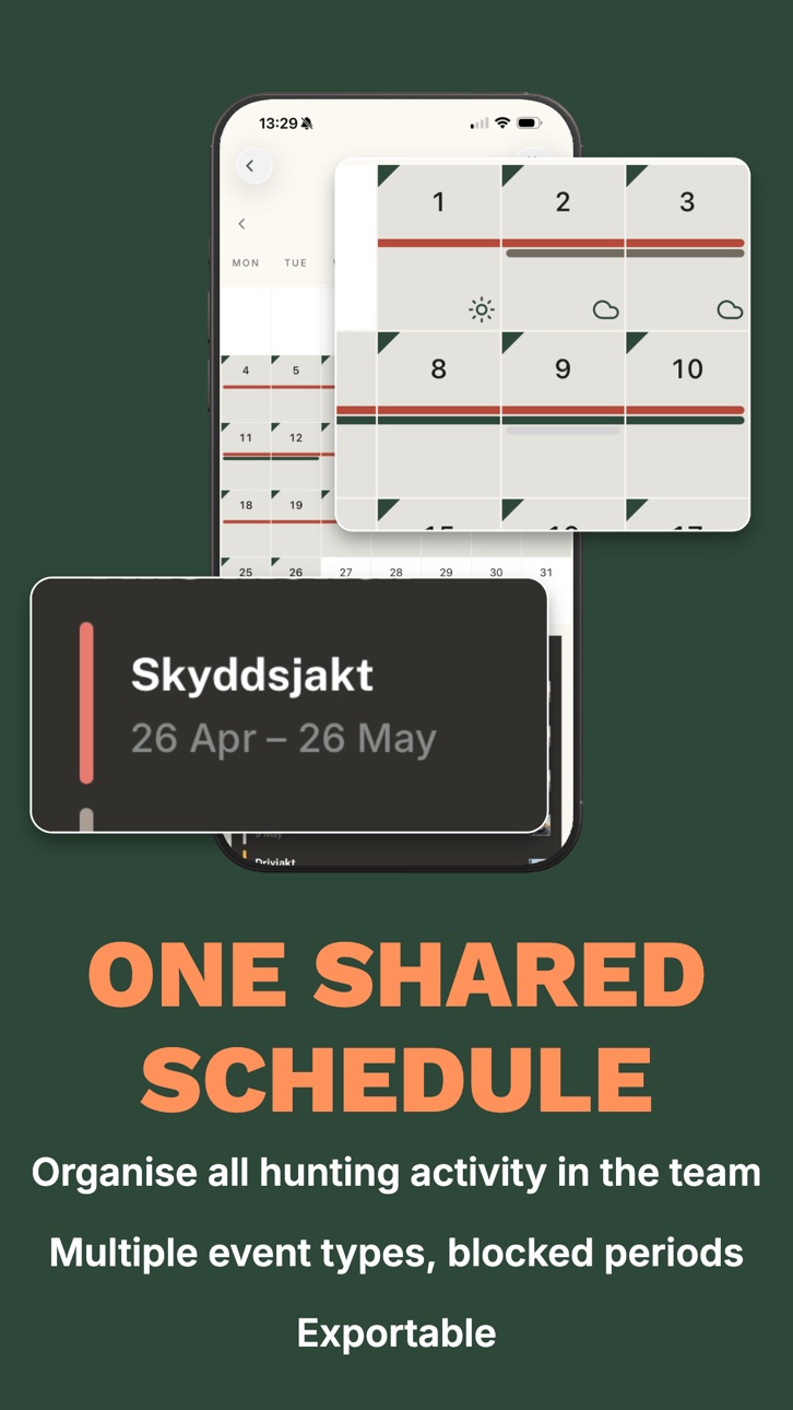
Plan team hunts, solo hunts, and protective hunts with start and end times. Participant tracking shows who's attending. iCal subscription syncs the team calendar with your own. Mark blocked periods so the calendar enforces them automatically. Weekly and monthly views.
TACTICAL MAP
Interactive map with markers for stands, towers, parking, salt stones, bridges, burrows, and many more. Draw hunting areas, sub-areas, and zones. Lines for streams, paths, and edges with type-based colors. Import GPX files from your GPS device. Filter and search by marker type. Map state and filters are saved between sessions.
TRAIL CAMERAS
Automatic image ingest via email from your trail cameras. Zoomable full-screen viewer with horizontal pager. Link each camera to a marker on the map. Edit camera names in the app.
MEMBER PROFILES
Member profile pages with photo, dogs, and weapons. Tap a participant in an event to see their profile.
NOTICE BOARD, DOCUMENTS, TASKS
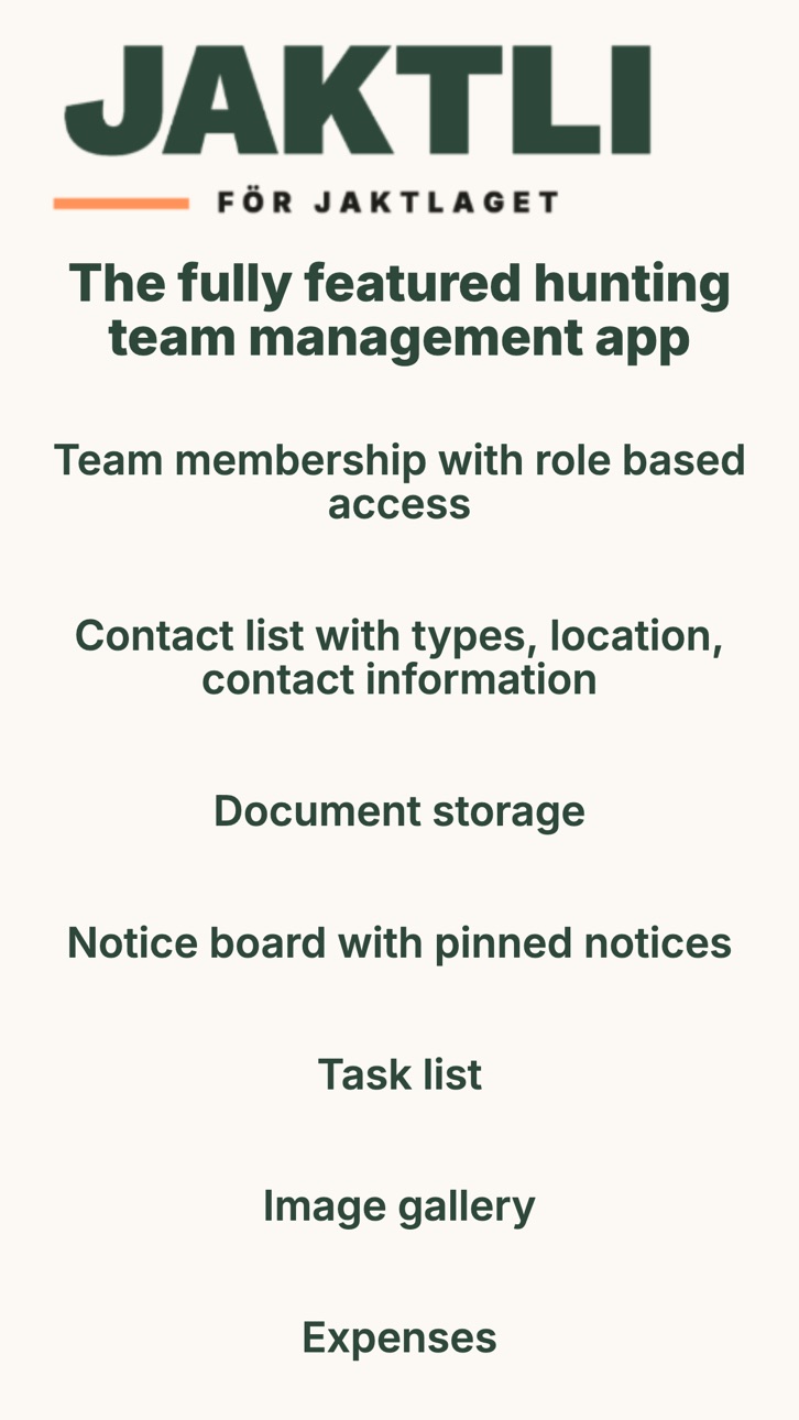
Pin announcements with up to three attachments per notice. Upload team documents (rules, permits, maps) stored securely in the EU. Create tasks for the team and link them to markers on the map. Filter and follow up.
PHOTOS, CONTACTS, EXPENSES
Batch photo upload and shared team gallery. Categorized contact list (vet, police, landowners, dog handlers). Expense tracking with receipts, paid-by, paid-out, and monthly breakdown.
WEATHER
7-day weather forecast based on your team's hunting ground. SMHI data in Sweden, Open-Meteo elsewhere. Weather icons in the calendar for planned hunts. Wind overlay directly on the map.
ROLES AND NOTIFICATIONS
Secretary, team lead, member, guest hunter, dog handler, landowner, tracking specialist, and more. Each role has the right level of access. Invite new members by email. Push and email notifications you control per category.
BUILT IN SWEDEN
Swedish development. Available in Swedish and English. 100% EU infrastructure. Your data stays in Europe. GDPR compliant.
SIMPLE PRICING
90-day free trial at no cost. No credit card required to get started. After that, 150 kr per team member per year (single annual invoice). All features included. No hidden fees. Pay with Swish or card.
Accessibility
ipadiphonemacrealityDevicetvoswatch
Version history 7 versions
Build 887656276v1.82026-07-01 23:20:07
Version 1.8:
This update is all about the map.
You can now choose which observations show on the map. Filter by category so you only see the markers you care about, and each filter shows the category's own icon.
The map stays clearer when you zoom out. Observation markers fold into small dots and hunting-area borders collapse to a single marker, so the map never gets crowded.
When you open a hunting area, you now see its size.
There is a new colour terrain map from Lantmäteriet. Pick it from the map's layer menu, alongside the toned-down version.
You can now delete a trail camera image you don't want to keep.
Plus a clearer map layer button and smaller fixes.
Build 887480328v1.72026-06-26 20:42:23
Version 1.7:
You can now log observations on the map even when no live hunt is running. Mark what you saw, shot, wounded or tracked, straight on the team map. Pick the date you saw the animal, so past sightings land in the right month in your statistics and harvest log. Tap the plus button on the map and choose Add observation.
You can now create private chats. Start your own chat with the teammates you choose, one to one or as a group. It is fully private, only you and the people you invite can see it.
There is a new map background, Terrain (Sweden), a Swedish topographic map from Lantmäteriet. Pick it from the map's layer menu.
You now get a notification when someone adds you to a chat channel.
The map is improved. Layers are smoother and steadier, especially when you switch teams or return to the map. Drawing hunting areas and lines while zoomed out is easier, markers drop more consistently, and your scent cone is clearer.
Plus several fixes. Date and time pickers on iPhone now appear in a panel at the bottom of the screen, the feedback screen on iOS has a back button, and various smaller stability fixes.
Build 886985043v1.6.42026-06-15 19:05:01
Version 1.6.4:
This update makes it easier to keep your hunt in order.
You can now keep your important papers in the app under My documents. Add your hunting licence, hunter's exam, weapon licence and shooting test, and you always have them with you. The hunt leader can see and confirm that members' papers are in order.
You can also draw your hunting ground's boundaries on the map. Fetch them from the property designation or point out a property directly on the map, and they are drawn in for you.
The map now has a tool for measuring distance.
Live hunt tracking is improved. A new wind cone shows where your scent travels, a clearer marker flags unsafe shooting directions, and a better dot shows where you are standing. The map is faster and steadier, especially on Android.
Plus several smaller fixes, including reminders now being sent at the right time.
Build 886863704v1.6.02026-06-12 18:02:53
What's new in 1.6.0:
• Harvest log: record downed game with live, dressed and packaged weights, and track how the meat is distributed within the team
• Team statistics: see hunts, downed game, observations and expenses per season, broken down by month, person and species
• Hunting season dates: set your team's season start and end in team settings
• Live hunt invites: invite guests with a code or QR code, and scan a QR code directly in the app to join a hunt
• Starting a spontaneous live hunt now automatically creates a calendar event for the team
• Bug fixes: push notifications, keyboard covering the login fields, team selector on iOS, map markers and more
Build 886605886v1.22026-06-06 09:21:00
Version 1.2:
- Guest hunt invites: invite friends to a single hunt with a 6-character code, no team membership required. Hosts can rotate or revoke the code. Guests join from the app or from any web browser.
- Track signs: new "track" marker type for footprints, blood, droppings, and other field signs, with or without a species
- Edit observations after placing them: change species, count, sex and age, or move on the map
- Redesigned observation flow with a faster species grid. Your recently used species float to the front; the full catalog is one tap away
- Sex and age breakdown for sightings (male, female, young); single tag for wounded or downed game
- Refreshed species icons across the app
- Observation summary in the hunt log
- Optional toggle: map orientation follows your facing direction
- Smoother map: decoupled wind and scent animation, recolored layers, thicker user trails
- Better battery life during hunts: smarter background updates, optimized network calls, and a hard 24-hour + 30-minute cap
- In-app hunt diagnostics panel for troubleshooting
- Home screen widget refresh: precipitation, sunrise and sunset on the same row, short wind direction, infinite-scroll location names
- Many smaller fixes for stability, performance, and clarity
Thanks for hunting with us. Reach out through the app or at jaktli.se.
Build 885658501v1.12026-05-26 15:07:09
Version 1.1 is our biggest update yet:
- Live hunt tracking: share your position with the team during a hunt, with wind and scent cone, no-shoot zones, distance rings, and off-screen "no-shoot" arrows
- Hunt log and replay: scrub through the whole hunt afterwards, follow a teammate, and see statistics per session
- Observations: mark game spotted, wounded, or downed during a hunt
- Team chat and per-event chat threads with photos, @mentions, replies, edit, and delete
- Member profile pages with photo, dogs, and weapons; tap a participant to open
- Many new map markers (stand, tower, salt stone, parking, bridge, burrow, and more) and a new stream line type with color-coded lines
- Filter and search the map by type; map state and filters are saved
- Weekly calendar view
- Sub-area association for hunt events
- SMHI weather forecast in Sweden
- Up to three attachments per notice
- Expense paid-by and monthly breakdown
- Better Google Calendar integration
- Many smaller fixes for speed, stability, and security
Build 883434998v1.02026-05-06 08:23:52
No pricing data captured yet — comparisons appear once the app has paid storefronts or in-app purchases.
Availability 1 of 1 storefronts
| Region | Language | Price | Ratings | Avg | Version |
|---|---|---|---|---|---|
| US | en-US | Free | 0 | — | 1.8 |
Change log 11 changes · US
✎
releaseNotes updated
Version 1.8:
This update is all about the map.
You can now choose which observations show on the map. Filter by category so you only see the markers you care
✎
description updated
Jaktli brings everything your hunting team needs into one app. Live hunt tracking, team chat, calendar, tactical map, trail cameras, documents, and more. Use it
✎
subtitle updated
Calendar, Map & Trail Cams
✎
name updated
Jaktli - Hunting Team App
◆
Version 1.8 released
Version 1.8:
This update is all about the map.
You can now choose which observations show on the map. Filter by category so you only see the markers you care about, and each filter shows the category's own icon.
The map stays clearer whe
◆
Version 1.7 released
Version 1.7:
You can now log observations on the map even when no live hunt is running. Mark what you saw, shot, wounded or tracked, straight on the team map. Pick the date you saw the animal, so past sightings land in the right month in y
◆
Version 1.6.4 released
Version 1.6.4:
This update makes it easier to keep your hunt in order.
You can now keep your important papers in the app under My documents. Add your hunting licence, hunter's exam, weapon licence and shooting test, and you always have th
◆
Version 1.6.0 released
What's new in 1.6.0:
• Harvest log: record downed game with live, dressed and packaged weights, and track how the meat is distributed within the team
• Team statistics: see hunts, downed game, observations and expenses per season, brok
◆
Version 1.2 released
Version 1.2:
- Guest hunt invites: invite friends to a single hunt with a 6-character code, no team membership required. Hosts can rotate or revoke the code. Guests join from the app or from any web browser.
- Track signs: new "track" mark
◆
Version 1.1 released
Version 1.1 is our biggest update yet:
- Live hunt tracking: share your position with the team during a hunt, with wind and scent cone, no-shoot zones, distance rings, and off-screen "no-shoot" arrows
- Hunt log and replay: scrub through t
◆
Version 1.0 released