Home › Navigation

 US
US
1 of 1 storefronts
Content in en-US
Content in en-US
Information
Preview 3 platforms
iPhone 6 images


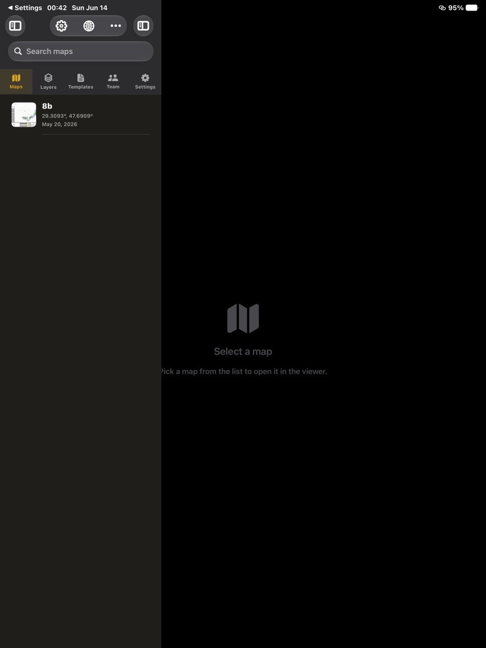
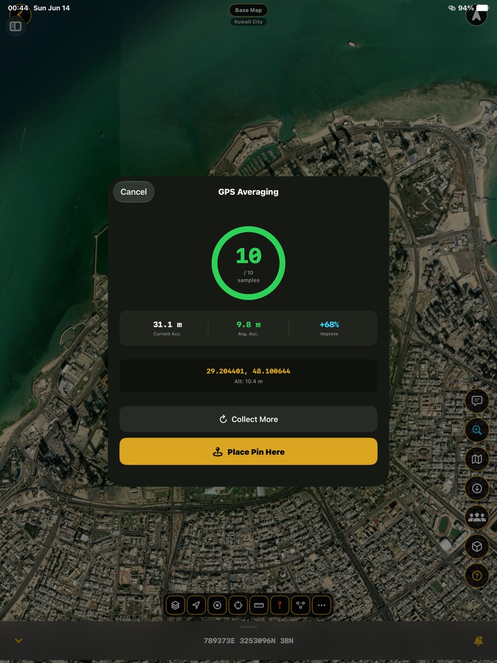
iPad 9 images



Apple Watch 5 images


What’s New Version 2.0
MapNero 2.0 — One map, every field.
MapNero now adapts to you. Pick what you use it for, and the app sets itself up around you.
• Usage Modes — EOD, Surveyor/GIS, Forestry, Hiker, Cyclist, General. Icons, tools, units and coordinate format preset automatically per mode.
• EOD Module — Blast/Frag simulator, ESSP & RESS explosives-safety siting, custom charge calculator, Chemical (CBRN) and Nuclear dispersion — all on offline maps.
• 3D Air Hazard Dome — the vertical volume fragments can reach during demolition, plus a NOTAM ceiling for airspace. Information only.
• Offline everywhere — your downloaded regions now work across every tool.
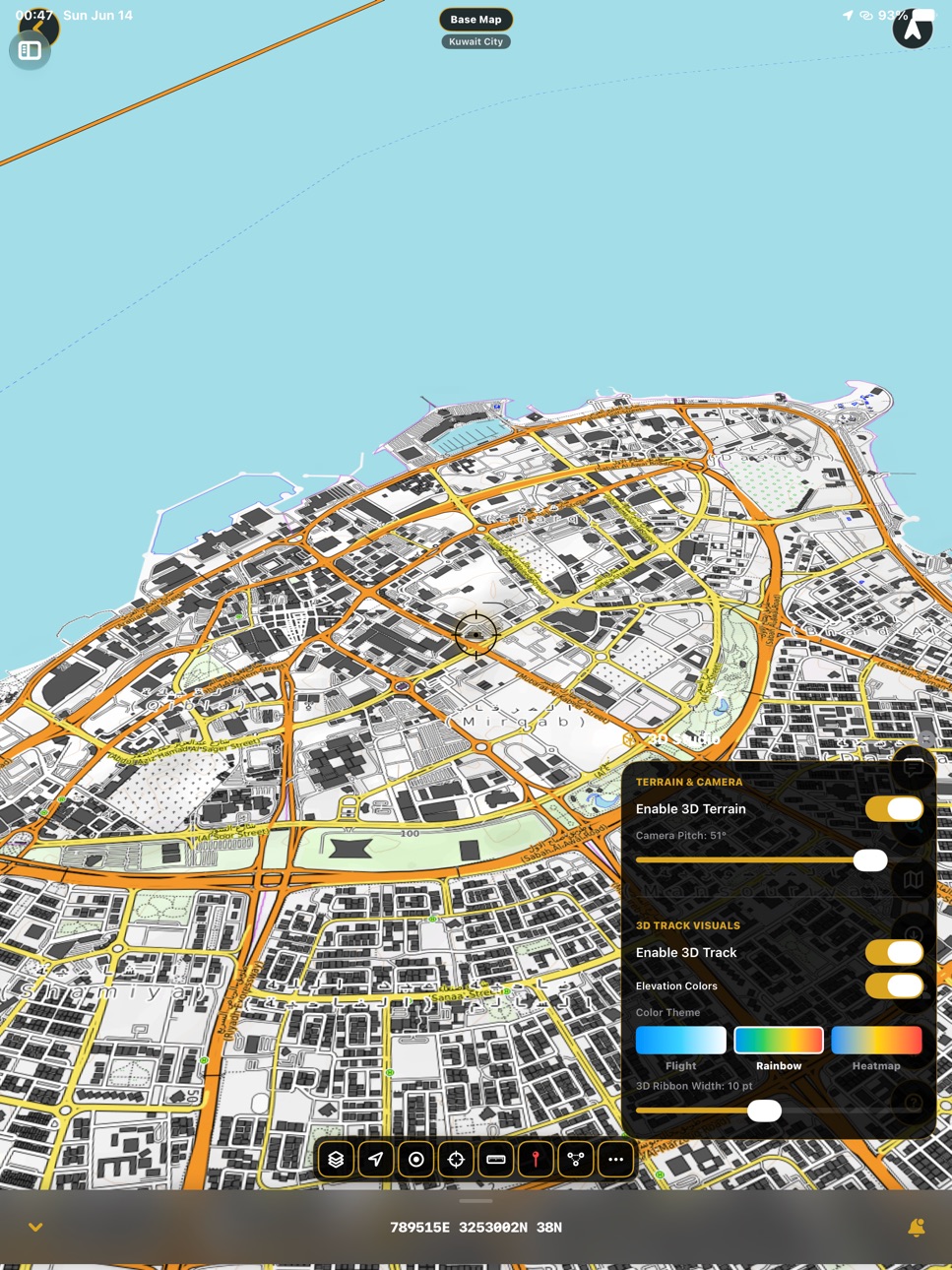
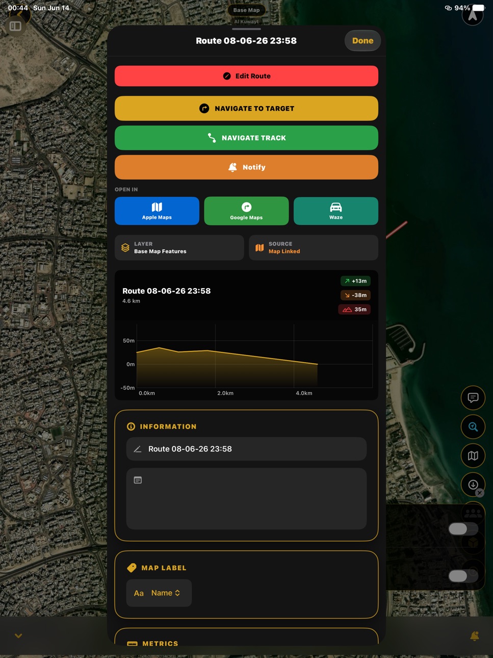
• Live 3D track, elevation/speed profile, track report.
• Unlimited tracks, free — a generous free tier for hikers and cyclists.
• 13 map icon packs, 12 languages, many refinements and safety fixes.
Head into the field. No signal required.
Description
MapNero is a professional field-mapping tool for EOD operators, deminers, mine-action teams and any field crew that needs accurate, offline maps.
Mark hazards, survey land and record your work directly on the map, then turn it into a shareable, georeferenced map sheet.
KEY FEATURES
IMAS land-release symbology (TNMA 07.11/01): SHA and CHA classification, status, contamination and activity icons, land-release products.
MIL-STD-2525 military symbols.
Pins, polygons, lines, tracks and area measurements with UTM and MGRS coordinates.
Import GeoTIFF and GeoPDF maps and use them offline with GPS.
Export to Shapefile, GeoPackage, GPX, KML, KMZ and CSV.
12 languages, including full right-to-left support.
NEW - GEOREFERENCED PDF MAP EXPORT
Export your map as a georeferenced PDF (GeoPDF) that opens in Avenza Maps and QGIS with coordinates intact.
Page sizes from A4 to A0, portrait or landscape, distortion-free full-page fit.
UTM grid with coordinate labels, automatic legend, scale bar, north arrow and a title block showing scale and sheet size.
Location inset showing where the sheet sits in the wider area.
Also for: land surveyors, geologists, utilities, foresters, search and rescue, rangers and archaeologists.
Developed by The Nero Labs. Not affiliated with Esri, ArcGIS or Avenza.
LEGAL
Privacy Policy: https://mapnero.com/privacy.html
Terms of Use (EULA): https://mapnero.com/terms.html
Capabilities
In-App Purchases
Accessibility
ipadiphonemacrealityDevicetvoswatch
Version history 4 versions
Build 888000726v2.02026-07-10 01:20:03
MapNero 2.0 — One map, every field.
MapNero now adapts to you. Pick what you use it for, and the app sets itself up around you.
• Usage Modes — EOD, Surveyor/GIS, Forestry, Hiker, Cyclist, General. Icons, tools, units and coordinate format preset automatically per mode.
• EOD Module — Blast/Frag simulator, ESSP & RESS explosives-safety siting, custom charge calculator, Chemical (CBRN) and Nuclear dispersion — all on offline maps.
• 3D Air Hazard Dome — the vertical volume fragments can reach during demolition, plus a NOTAM ceiling for airspace. Information only.
• Offline everywhere — your downloaded regions now work across every tool.
• Live 3D track, elevation/speed profile, track report.
• Unlimited tracks, free — a generous free tier for hikers and cyclists.
• 13 map icon packs, 12 languages, many refinements and safety fixes.
Head into the field. No signal required.
Build 887827405v1.3.02026-07-07 22:43:28
Accuracy and reliability improvements, plus a few new touches — and yes, we squished a lot of bugs.
Build 887732854v1.2.12026-07-02 19:24:08
You can now connect an external GNSS/RTK receiver over Bluetooth or Wi‑Fi for centimeter‑level positioning accuracy. This is fully optional — the app still works with the iPhone's built‑in GPS. Also includes stability improvements and bug fixes.
Build 882102733v1.2.02026-06-24 01:52:29
No pricing data captured yet — comparisons appear once the app has paid storefronts or in-app purchases.
Availability 1 of 1 storefronts
| Region | Language | Price | Ratings | Avg | Version |
|---|---|---|---|---|---|
| US | en-US | Free | 0 | — | 2.0 |
Change log 8 changes · US
✎
releaseNotes updated
MapNero 2.0 — One map, every field.
MapNero now adapts to you. Pick what you use it for, and the app sets itself up around you.
• Usage Modes — EOD, Surveyor/
✎
description updated
MapNero is a professional field-mapping tool for EOD operators, deminers, mine-action teams and any field crew that needs accurate, offline maps.
Mark hazards,
✎
subtitle updated
Field mapping & GeoPDF export
✎
name updated
MapNero
◆
Version 2.0 released
MapNero 2.0 — One map, every field.
MapNero now adapts to you. Pick what you use it for, and the app sets itself up around you.
• Usage Modes — EOD, Surveyor/GIS, Forestry, Hiker, Cyclist, General. Icons, tools, units and coordinate forma
◆
Version 1.3.0 released
Accuracy and reliability improvements, plus a few new touches — and yes, we squished a lot of bugs.
◆
Version 1.2.1 released
You can now connect an external GNSS/RTK receiver over Bluetooth or Wi‑Fi for centimeter‑level positioning accuracy. This is fully optional — the app still works with the iPhone's built‑in GPS. Also includes stability improvements and bug f
◆
Version 1.2.0 released