Home › Utilities

 US
US
1 of 1 storefronts
Content in en-US
Content in en-US
Information
Apple ID6757146207
Bundle IDcom.zhihi.gis.measurement
SellerSeller
Min iOS15.0
Min macOS12.0
Device familiesiphone, ipad, ipod
Released2026-01-08
Copyright© 2025 ZhaoFei Yang
Privacy policyLink ↗
Preview 2 platforms
iPhone 7 images


iPad 3 images


What’s New Version 2.1.0
- Camera Support: Take photos directly during field logging to capture site conditions
- Borehole Editing: Edit drill holes within your surveyed area
- Area Split: Divide existing polygons into multiple independent zones
Description
Geo Land Measure – Your Professional GPS Field Assistant
Measure Land Area, Distance & Perimeter with Pinpoint Accuracy
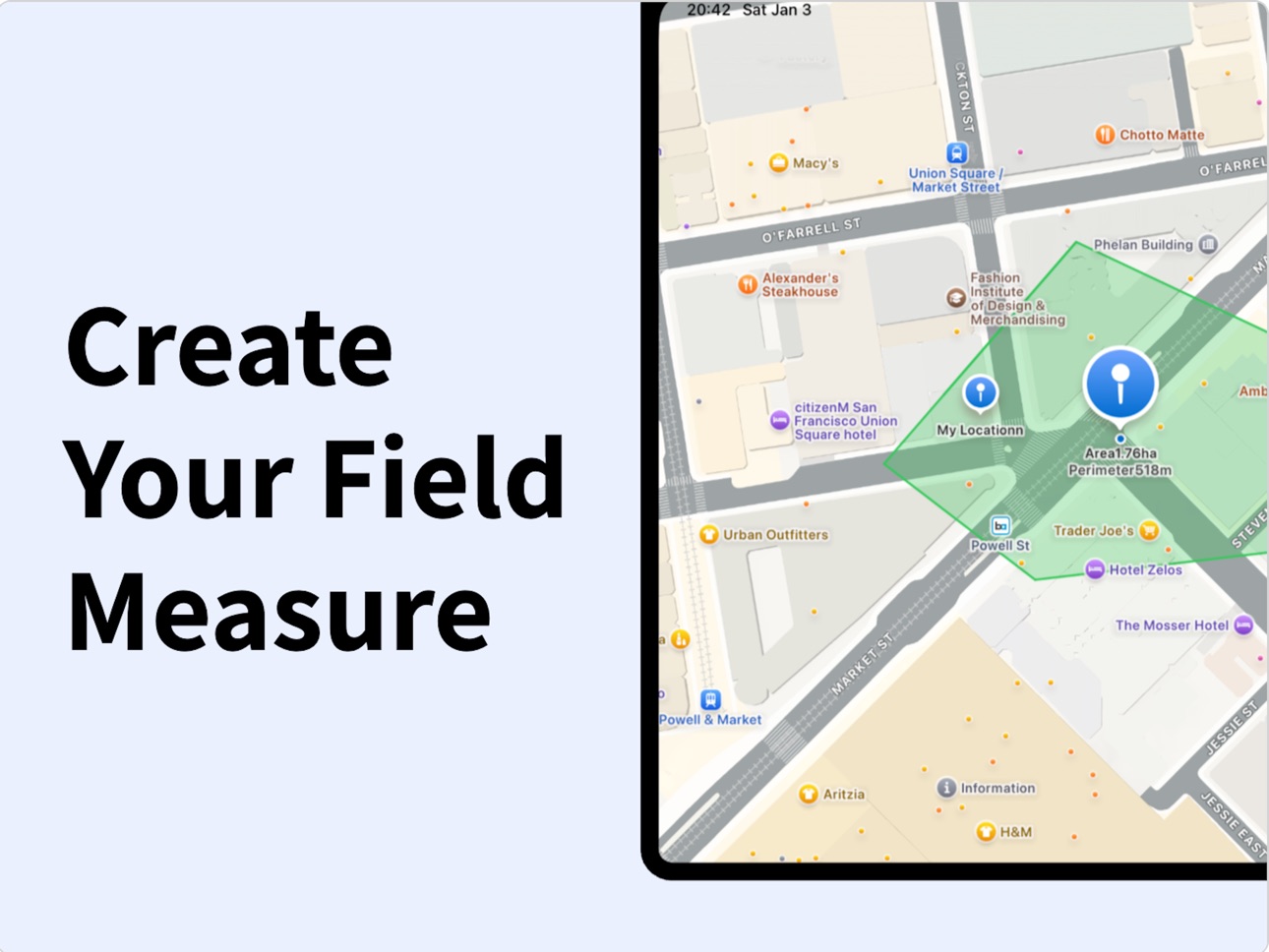
Geo Land Measure transforms your iPhone into a powerful surveying tool. Leverage your phone‘s GPS to measure land area, calculate perimeter, and mark distances with outstanding accuracy — replacing expensive, specialized equipment.
Core Features for Field Work:
• Fast & Accurate Measurement: Draw shapes directly on the map or walk boundaries with GPS tracking.
• Full Data Management: Save, name, and organize all your projects (measurements) locally.
• Map & Satellite Views: Switch between standard and hybrid maps for optimal clarity.
What’s New & Improved:
• Account & Personalization: Log in to unlock a tailored experience and prepare for future cloud features.
• Quick-Access Side Menu: Tap the top-left menu icon for instant access to all core tools.
• One-Tap Save: Never lose data. Save your drawings and measurement details instantly.
• In-App Feedback Channel: Found a bug? Have a great idea? Talk to us directly from within the app.
Perfect For:
• Farmers & Agronomists calculating field size for planting or irrigation.
• Surveyors, Engineers & Construction Pros for quick on-site marking and validation.
• Real Estate Agents & Property Owners verifying plot dimensions and boundaries.
• Outdoor Enthusiasts & Gardeners planning projects or mapping trails.
Why Choose Geo Land Measure?
It‘s simple enough for anyone to use, yet powerful enough for professional tasks. Get reliable measurements, intuitive drawing tools, and now, a more connected workflow — all in one cost-effective app.
Download Now and Measure Your World with Confidence.
Privacy Policy: https://areameasure.top/privacy.html
Terms of Use: https://areameasure.top/terms.html
In-App Purchases US pricing
EasyField Subscribe Subscription
Geo Land Measure - 1 Year · Yearly$44.99
Geo Land Measure - 6 Months · 6 months$29.99
Geo Land Measure - 1 Month · Monthly 7-day free trial$6.99
Capabilities
In-App Purchases
Accessibility
ipadiphonemacrealityDevicetvoswatch
Version history 7 versions
Build 883975606v2.1.02026-04-01 04:16:37
- Camera Support: Take photos directly during field logging to capture site conditions
- Borehole Editing: Edit drill holes within your surveyed area
- Area Split: Divide existing polygons into multiple independent zones
Build 883066097v2.0.12026-03-12 08:02:41
- Bug fixes
- UI improvements
Build 882701563v2.0.02026-03-05 11:16:43
What's New
- Rich Media Logs: Attach photos, notes, and tags to every measurement for comprehensive field documentation
- Smart Grouping: Organize surveys by project or zone for better data management at scale
- Style Customization: Customize colors, opacity, and icons for points, lines, and areas to visualize data intuitively
- Edit Details: Review and modify saved record attributes anytime to adapt to field changes
Build 881948812v1.3.02026-02-03 17:31:11
What's New:
- New Zoom Feature: Smoothly zoom in and out of the map with gestures for detailed viewing of your drawings.
- Shape Filter: Quickly filter and find specific types of shapes in your history for better project management.
Build 881705347v1.2.02026-01-29 00:10:24
Make Measuring Easier! New Features Now Available.
This update brings several practical new features to make your surveying work smoother:
• Account Login: Quickly create or log into your personal account to start a customized experience.
• New Side Menu: Accessible by tapping the menu icon in the top-left corner, putting essential tools at your fingertips.
• One-Tap Save for Drawings: After completing a measurement, easily save your graphics and data with a single tap.
• Share Feedback Anytime: Love a feature or have an idea? You're welcome to tell us directly within the app.
The free update is ready. Welcome to download and try it out!
Build 881536573v1.1.02026-01-19 08:57:07
What's New in Version 1.1.0
GPS drawing mode — Now walk and auto-draw polygons in real-time for faster field area & perimeter measurements
Improved accuracy — Enhanced GPS tracking + spherical area calculations for precise land survey results
UI & interaction upgrades — Smoother drawing, cleaner interface, and faster performance
Map type memory — Your preferred map (standard, satellite, hybrid) is now saved automatically
Enjoy more reliable GPS area measure, land survey, and field measurement tools. Update now for the best experience!
Build 881066652v1.0.02026-01-08 10:28:31
Price history by region
Currency
Show
Columns
Search
Availability 1 of 1 storefronts
| Region | Language | Price | Ratings | Avg | Version |
|---|---|---|---|---|---|
| US | en-US | Free | 1 | 5.0 | 2.1.0 |
Change log 11 changes · US
✎
releaseNotes updated
- Camera Support: Take photos directly during field logging to capture site conditions
- Borehole Editing: Edit drill holes within your surveyed area
- Area Spl
✎
description updated
Geo Land Measure – Your Professional GPS Field Assistant
Measure Land Area, Distance & Perimeter with Pinpoint Accuracy
Geo Land Measure transforms your iPhone
✎
subtitle updated
Measure Acres & Boundaries
✎
name updated
Geo Land Measure & Field Maps
◆
Version 2.1.0 released
- Camera Support: Take photos directly during field logging to capture site conditions
- Borehole Editing: Edit drill holes within your surveyed area
- Area Split: Divide existing polygons into multiple independent zones
◆
Version 2.0.1 released
- Bug fixes
- UI improvements
◆
Version 2.0.0 released
What's New
- Rich Media Logs: Attach photos, notes, and tags to every measurement for comprehensive field documentation
- Smart Grouping: Organize surveys by project or zone for better data management at scale
- Style Customization: Customi
◆
Version 1.3.0 released
What's New:
- New Zoom Feature: Smoothly zoom in and out of the map with gestures for detailed viewing of your drawings.
- Shape Filter: Quickly filter and find specific types of shapes in your history for better project management.
◆
Version 1.2.0 released
Make Measuring Easier! New Features Now Available.
This update brings several practical new features to make your surveying work smoother:
• Account Login: Quickly create or log into your personal account to start a customized experience.
•
◆
Version 1.1.0 released
What's New in Version 1.1.0
GPS drawing mode — Now walk and auto-draw polygons in real-time for faster field area & perimeter measurements
Improved accuracy — Enhanced GPS tracking + spherical area calculations for precise land survey resu
◆
Version 1.0.0 released