Home › Sports

 US
US
1 of 1 storefronts
Content in en-US
Content in en-US
Information
Preview 1 platform
iPhone 9 images





What’s New Version 2.9.4
Bug fix
Added the ability to customize the map viewpoint
Added possibility to download vector maps for off-line use
Description
Do you like to forage for mushrooms? Mushroom foraging is a fun and stimulating activity, which puts you in direct contact with nature and the surrounding environment. aFunghi is the best application to create a diary of all your excursions while foraging mushrooms.
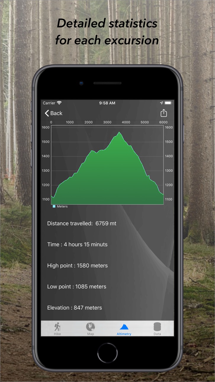
Very easy to use. After pressing the 'Via' button, start searching and your efforts will paid off, you'll just have to take pictures of your finding. Returned home you will be able to look at your route, your findings and see detailed statistics.
FUNCTIONALITY AND BENEFITS**
- Record your excursions in real time thanks to GPS.
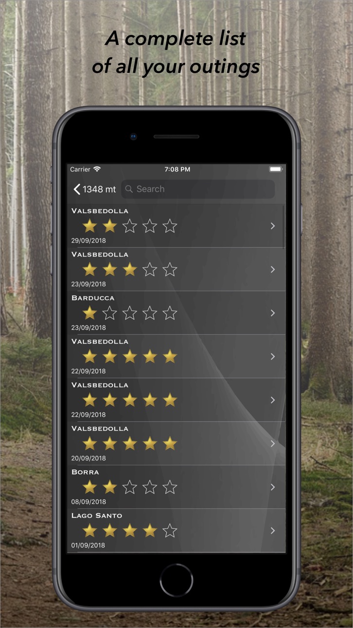
- Add comments and ratings to your excursions.
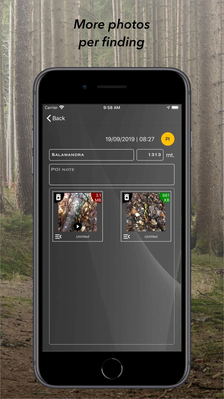
- Easily add your points of interest (POIs).
- View all the POIs of your excursions on the map.
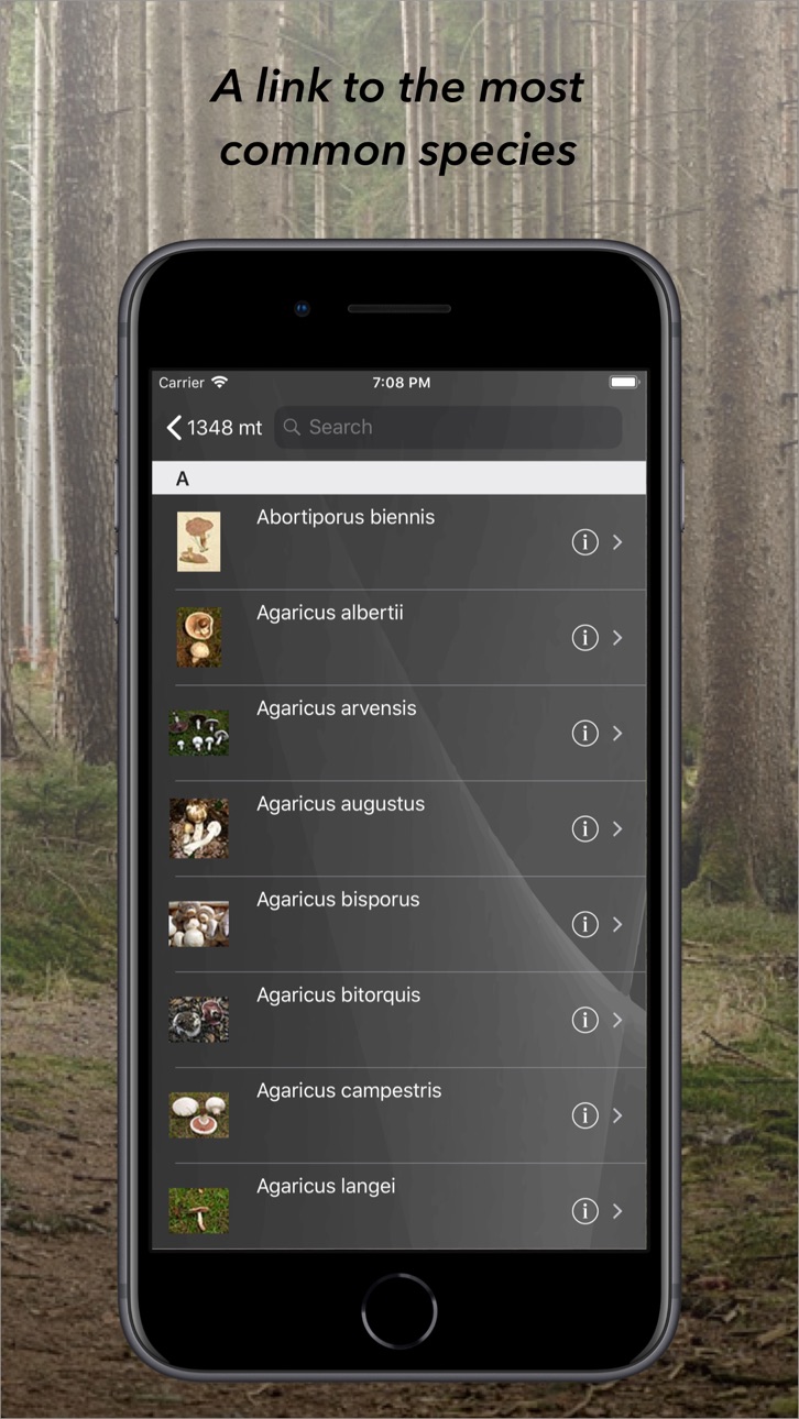
- Discover some of the most common species of mushrooms.
- Invite your hiking companions to share the last known position. You'll see their location and distance from you on the map.
- Thanks to geofencing, the hike will stop automatically when you return to the starting point.
- Share your hiking photos with friends.
Continued use of the GPS may shorten battery life.
WARNING: the aFunghi application is a pure consultation tool and cannot and will not replace the experience in the recognition of mushrooms. If you are not sure about the edibility of a mushroom, DO NOT COLLECT AND EAT it! Mushroom poisoning can be fatal or cause irreversible damage to the body.
Accessibility
ipadiphonemacrealityDevicetvoswatch
Version history 24 versions
Build 849374344v2.9.42022-11-29 21:37:54
Bug fix
Added the ability to customize the map viewpoint
Added possibility to download vector maps for off-line use
Build 842047231v2.9.32021-08-11 19:10:10
Bug fix
Build 838329060v2.9.22020-10-26 18:44:36
Bug fix
Build 836548150v2.9.12020-06-26 16:51:49
Bug fix
Build 835915977v2.92020-06-12 00:21:12
Simplified user interface
Removed the possibility of user registration and deleted the personal data of registered users
Added an audible warning when, during a hike, the operator's signal is available again
Added the ability to create and assign custom tags to points of interest
New photo gallery added
Added the possibility to see and edit points of interest directly from the map
Bug fix
Build 832809583v2.82019-09-19 13:34:55
Bug fix
Added the possibility to record video
Build 832585910v2.7.12019-08-30 17:03:19
Bug fix
Build 832525186v2.72019-08-27 16:59:20
Bug fix
Build 832308982v2.62019-08-10 01:08:42
Correction of location and location sharing errors
Small changes to the interface
Build 831990411v2.52019-07-13 13:05:10
Bug fix
Build 831551694v2.42019-06-05 12:41:05
Bug fix
Build 831336061v2.32019-05-22 00:58:23
Bug fix.
Small improvements.
Simplified user interface.
Added the possibility to filter the points of interest visible on the map.
Added the possibility to see a ghost track on the map of a previous excursion.
Tap the points of interest on the map, if any, to show the associated photos.
Build 829186606v2.22018-11-07 22:35:40
Fixed an issue that prevented you from displaying your location on the map
Build 827744610v2.12018-10-16 18:55:25
A new, easy and intuitive graphic interface.
Added the ability to view help.
Added the ability to share your location with your hiking buddies.
Adaptation to the new EU ePrivacy Directive and the General Data Protection Regulation (GDPR).
Bug fix.
Build 824068230v2.02017-10-27 21:39:54
Completely rewritten, added compatibility to iOS 11 and added localisation in Spanish
Build 817799144v1.82016-06-17 23:29:50
Fixed an issue that prevented the recording path in the background
Build 814200311v1.72015-11-02 22:36:18
Fixed an issue that prevented the registration path.
Build 813432897v1.62015-09-28 16:32:16
iOS 9 support
Small improvements
Build 717582650v1.52014-10-16 22:27:55
Support for iOS 8.
New icon and new graphical user interface.
Fix bugs and various improvements.
Build 590862827v1.42014-06-02 16:45:49
Bug Fix
Improved geolocation points of interest
In the settings, adding the ability to set the default resolution of the photos.
In the settings, added the ability to set the default quality of the photos.
In the settings add the possibility of reducing all the photos at the default resolution.
Ability to delete multiple points of a route.
Possibility to take a photo in a new point of discovery mode Screensaver.
Now is the level of satisfaction that the weight of the finds are set directly from the detail screen of the excursion.
Build 101872687v1.32013-11-12 08:09:56
Bug fix.
Added functionality to show a map of all the finds.
Remember to give your opinion and suggestions.
Thanks for the support.
Build 83614664v1.22013-10-24 02:27:24
Added function to inhere photos from camera roll.
Added function to assign a name to the photos.
Added feature to resize your photos.
Added the function to see the photos full screen.
Added French localization.
Added German localization.
Build 21033145v1.12013-10-01 17:25:21
-iOS7 Compatibility
-Fixed a problem when recording tracks.
-Added search function.
-For each excursion ability to insert an index of satisfaction.
-For each point of finding it automatically records the altitude.
-Added a screen showing time, and altitude and the button that allows you to request help by sending messages with our location (to a contact specified in the settings of the app).
-Possibility to edit and delete route points.
-Added the ability to recreate the thumbnail of the map visible in the list of excursions. (Tap on the map to show and hide the controls).
-The points of interest are pictures with recognizable than others.
-Added the ability to zoom in on photos.
-Publish tour on Facebook
Build 15871040v1.02013-07-26 21:05:06
No pricing data captured yet — comparisons appear once the app has paid storefronts or in-app purchases.
Availability 1 of 1 storefronts
| Region | Language | Price | Ratings | Avg | Version |
|---|---|---|---|---|---|
| US | en-US | Free | 0 | — | 2.9.4 |
Change log 28 changes · US
✎
releaseNotes updated
Bug fix
Added the ability to customize the map viewpoint
Added possibility to download vector maps for off-line use
✎
description updated
Do you like to forage for mushrooms? Mushroom foraging is a fun and stimulating activity, which puts you in direct contact with nature and the surrounding envir
✎
subtitle updated
Hiking diary
✎
name updated
aFunghi
◆
Version 2.9.4 released
Bug fix
Added the ability to customize the map viewpoint
Added possibility to download vector maps for off-line use
◆
Version 2.9.3 released
Bug fix
◆
Version 2.9.2 released
Bug fix
◆
Version 2.9.1 released
Bug fix
◆
Version 2.9 released
Simplified user interface
Removed the possibility of user registration and deleted the personal data of registered users
Added an audible warning when, during a hike, the operator's signal is available again
Added the ability to create and
◆
Version 2.8 released
Bug fix
Added the possibility to record video
◆
Version 2.7.1 released
Bug fix
◆
Version 2.7 released
Bug fix
◆
Version 2.6 released
Correction of location and location sharing errors
Small changes to the interface
◆
Version 2.5 released
Bug fix
◆
Version 2.4 released
Bug fix
◆
Version 2.3 released
Bug fix.
Small improvements.
Simplified user interface.
Added the possibility to filter the points of interest visible on the map.
Added the possibility to see a ghost track on the map of a previous excursion.
Tap the po
◆
Version 2.2 released
Fixed an issue that prevented you from displaying your location on the map
◆
Version 2.1 released
A new, easy and intuitive graphic interface.
Added the ability to view help.
Added the ability to share your location with your hiking buddies.
Adaptation to the new EU ePrivacy Directive and the General Data Protection Regulation (GDPR).
B
◆
Version 2.0 released
Completely rewritten, added compatibility to iOS 11 and added localisation in Spanish
◆
Version 1.8 released
Fixed an issue that prevented the recording path in the background
◆
Version 1.7 released
Fixed an issue that prevented the registration path.
◆
Version 1.6 released
iOS 9 support
Small improvements
◆
Version 1.5 released
Support for iOS 8.
New icon and new graphical user interface.
Fix bugs and various improvements.
◆
Version 1.4 released
Bug Fix
Improved geolocation points of interest
In the settings, adding the ability to set the default resolution of the photos.
In the settings, added the ability to set the default quality of the photos.
In the settings add the possib
◆
Version 1.3 released
Bug fix.
Added functionality to show a map of all the finds.
Remember to give your opinion and suggestions.
Thanks for the support.
◆
Version 1.2 released
Added function to inhere photos from camera roll.
Added function to assign a name to the photos.
Added feature to resize your photos.
Added the function to see the photos full screen.
Added French localization.
Added German localization.
◆
Version 1.1 released
-iOS7 Compatibility
-Fixed a problem when recording tracks.
-Added search function.
-For each excursion ability to insert an index of satisfaction.
-For each point of finding it automatically records the altitude.
-Added a screen showing
◆
Version 1.0 released