Home › Productivity

 US
US
1 of 1 storefronts
Content in en-US
Content in en-US
Information
Preview 2 platforms
iPhone 8 images



iPad 8 images


What’s New Version 2.14.0
- Refreshed field UI across map, records, layers, teams, organization, profile, and authentication screens.
- Added authenticator-app two-factor authentication, backup codes, and second-factor sign-in.
- Improved offline detection with clearer offline screens and less flickering status messaging.
- Polished track recording with REC/paused states, live distance, status messages, and updated summaries.
- Record editing now happens directly from the map record sheet for faster field updates.
- Bug fixes.
Description
Echospectra
Raising the Standard in Wildfire Investigation
Echospectra is the field-ready documentation platform built for wildfire origin and cause (O&C) investigators. Designed by fire professionals and data scientists, it replaces paper forms, GPS units, and disorganized photo logs with one structured, defensible workflow that works entirely offline.
Our mobile and desktop tools enforce indicator discipline, auto-link every image to its location and compass bearing, and export courtroom-ready reports in a single click—reducing documentation time by up to 80% while improving consistency, accuracy, and legal defensibility.
Built for the Field
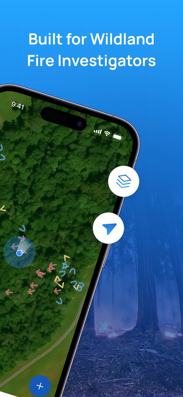
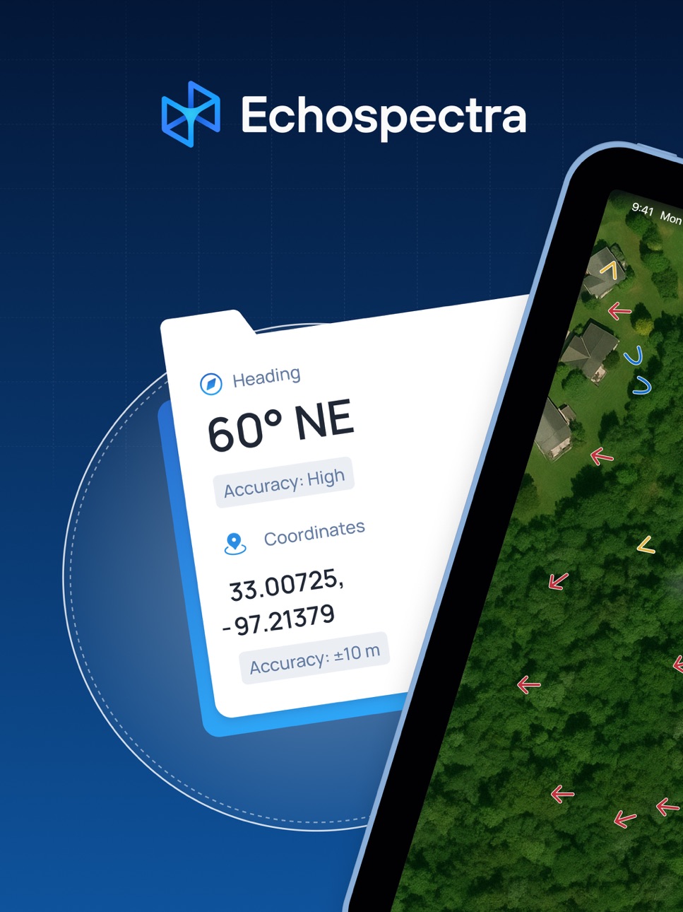
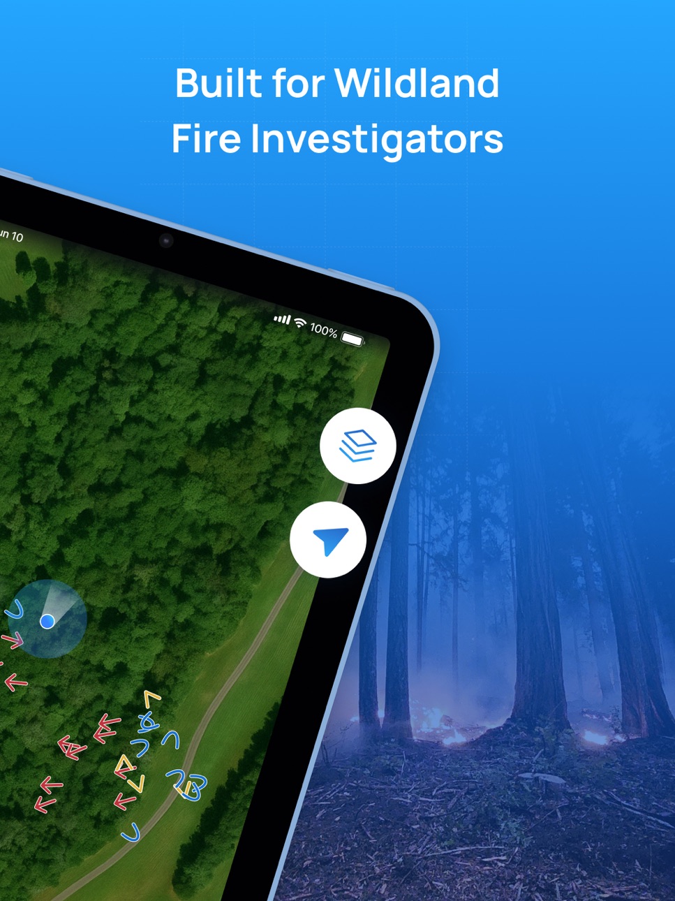
Capture indicators, areas, and transition zones directly on the map. Each record automatically stores GPS coordinates, azimuth, timestamps, and author metadata. Cached maps and offline syncing keep you working anywhere—even miles from coverage.
Scientifically Defensible
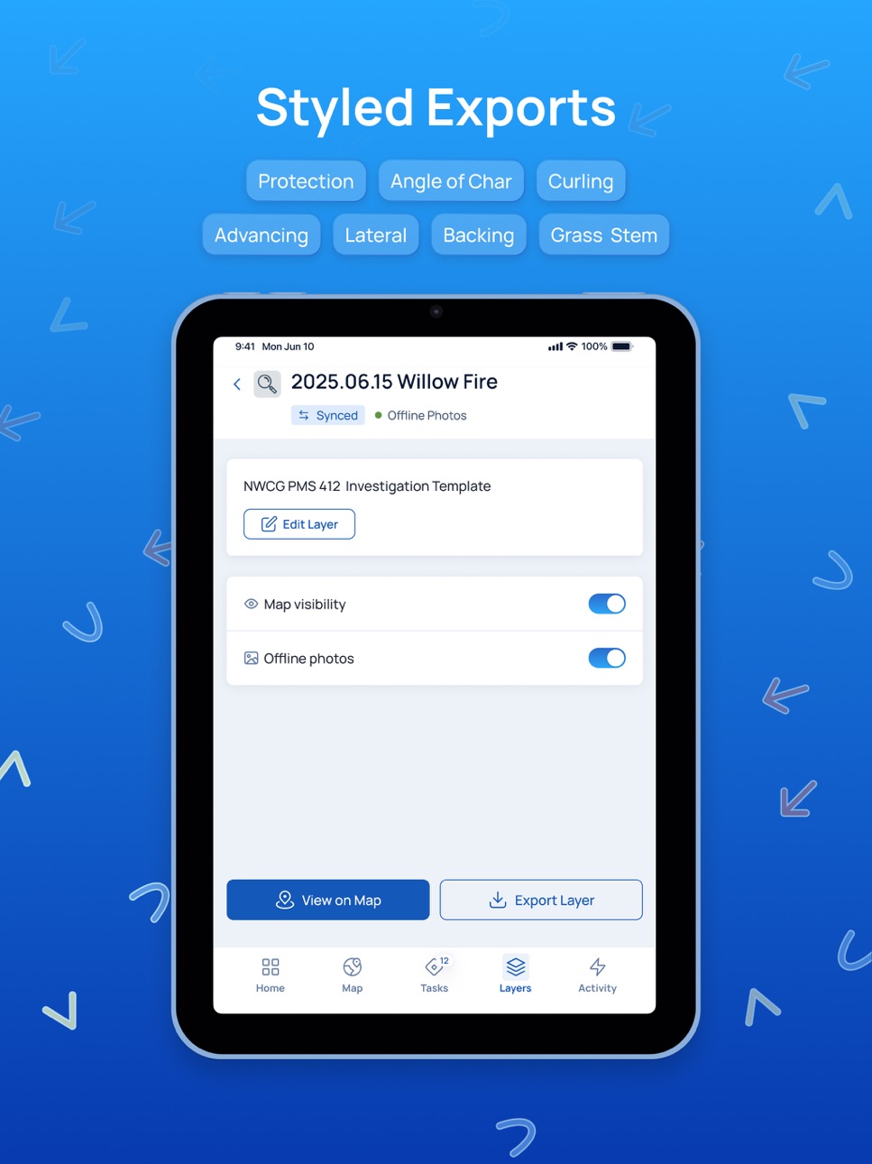
Echospectra aligns with NWCG PMS 412 documentation standards, preserving full chain-of-custody and metadata integrity. Every change is tracked with an auditable history, supporting both internal QA and expert testimony.
Efficiency Meets Clarity
Investigators collect more comprehensive data in two days with Echospectra than a week using traditional methods. Structured exports—photo logs, KML, and original images—turn fieldwork into clean, shareable case files that withstand scientific and legal scrutiny.
Key Capabilities
• Structured indicator mapping aligned with NWCG standards
• One-click, defensible photo logs with GPS, azimuth, and timestamps
• Layered, shareable maps with offline reliability
• Export-ready case packages for QA and litigation
• View-only and scoped-edit sharing for clients or teams
• Optional property, weather, and lightning layers (Pro tier)
Trusted by Experts
Validated through multi-agency field use and recognized at the 2025 Wildfire Ignition Causes Conference, Echospectra is built for investigators who demand clarity, defensibility, and speed in the field.
Field-fast capture. Teamwide clarity. Data you can defend.
Download Echospectra today.
Accessibility
ipadiphonemacrealityDevicetvoswatch
Version history 25 versions
Build 887356611v2.14.02026-06-24 21:21:21
- Refreshed field UI across map, records, layers, teams, organization, profile, and authentication screens.
- Added authenticator-app two-factor authentication, backup codes, and second-factor sign-in.
- Improved offline detection with clearer offline screens and less flickering status messaging.
- Polished track recording with REC/paused states, live distance, status messages, and updated summaries.
- Record editing now happens directly from the map record sheet for faster field updates.
- Bug fixes.
Build 887060811v2.13.32026-06-19 11:03:06
- Fixed issue with edit record location
Build 887012803v2.13.22026-06-16 19:49:04
- Optimization
Build 886851040v2.13.02026-06-13 01:39:34
- Redesigned track recording with live stats.
- Better selection for overlapping map records.
- More reliable track details and map focus.
- Improved organization/session cleanup.
- Bug fixes.
Build 886924074v2.13.12026-06-13 23:34:22
- Fixed issue with display user tracks
Build 886305095v2.12.22026-05-29 22:23:34
- New observation options
Build 886215556v2.12.12026-05-28 15:10:31
- Updated user track logic
Build 886104453v2.12.02026-05-26 18:53:00
- Live Track Recording: Record, pause, and save project tracks directly from the map.
- Map Integration: View tracks as project-colored dashed lines; open them via the map or the new Tracks screen.
- Collaboration & Offline: Hide/show teammate tracks and download files for offline use.
- Draft Recovery: Reopen unfinished records with all geometry, media, and steps fully restored.
- Android Media Fix: Restored media-library permissions for smoother gallery flows.
Build 885593429v2.11.02026-05-14 02:18:02
- Line and Polygon drawing support
- UI improvements
- Bug fixes
Build 885218044v2.10.02026-05-07 10:40:21
- New drawing tools
- New loading screen
- Active project selector
- Map fixes
Build 884767598v2.9.22026-04-22 07:51:34
* Added the new Audit Trail feature with map integration and offline support.
* Added a new app-wide offline indicator and improved offline performance.
* Added project record counts and lifecycle notifications.
* Fixed camera photo orientation and map scaling issues.
* Resolved bugs with organization invitations and improved overall app stability.
Build 884554292v2.9.12026-04-16 09:42:35
- Bug fixes
- Show & restore archived projects
- Project exports with KML styling
- Show on map project feature
- Zoom to project feature
- Added Origin icon
Build 884153288v2.9.02026-04-06 13:43:18
• Layers are now Projects: A clearer way to organize your workflow.
• Project Statuses: Update statuses, filter by Date, and view Archived projects.
• Subscriptions: Track your organization's active project limits on the home screen.
• Improvements: Smoother offline syncing and map navigation.
• Bug Fixes: Squashed bugs causing camera flashes, missing photo GPS data, and map
Build 882130984v2.8.12026-02-04 00:05:05
- Bug fixes
Build 881638694v2.8.02026-01-20 19:05:43
- Bug fixes
- New input fields for manually editing location coordinates
Build 881090106v2.7.52025-12-30 16:46:44
- Bug fixes
Build 880622507v2.7.42025-12-13 00:59:24
- Bug fixes
Build 879765996v2.7.32025-11-16 07:11:33
- Bug fixes
Build 879533274v2.7.12025-11-06 06:53:01
- Bug fixes
Build 879520853v2.7.02025-11-05 19:14:54
- Reference material
- Download layer photos for offline use
- In-app notifications
- Sync improvements
- Bug fixes
Build 879096155v2.6.02025-10-22 05:48:13
- Record metadata
- Configurable record titles
- Improved location tracking
- Improved heading accuracy for horizontal photos
- Map rotation and compass
- Organization creation
- Organization members
- Organization invitations
- Organization management
- UI/UX improvements
- Bug fixes
Build 878467055v2.5.12025-09-28 05:29:28
- Compass accuracy
Build 878374092v2.5.02025-09-24 21:05:51
- Layer KML export
- Camera improvements
- Compass improvements
- Record field validation
Build 878167763v2.4.12025-09-17 09:56:12
- Improved location tracking for photos and directional indicators
- Fixed compass heading so POI and Evidence icons no longer rotate incorrectly
- GPS coordinates now display in full without getting cut off
- Removed zoom limits on media location maps for better detail
Build 877972565v2.4.02025-09-09 17:56:54
- Photo Map & Details: View your geotagged photos on an interactive map and swipe up for a detailed info panel.
- Richer Photo Metadata: We now capture the original creation date, geotags, and camera orientation from your photos.
- Layer Details: The layer details page now shows sync statuses and allows for easier editing.
- Multi-Select Fields: You can now select multiple options for "indicator type" fields.
- Field Ordering: Template fields now correctly display based on their rank.
- Bug Fixes & Improvements: This release includes fixes for record syncing, map layer visibility, duplicated albums, and more.
No pricing data captured yet — comparisons appear once the app has paid storefronts or in-app purchases.
Availability 1 of 1 storefronts
| Region | Language | Price | Ratings | Avg | Version |
|---|---|---|---|---|---|
| US | en-US | Free | 3 | 5.0 | 2.14.0 |
Change log 29 changes · US
✎
releaseNotes updated
- Refreshed field UI across map, records, layers, teams, organization, profile, and authentication screens.
- Added authenticator-app two-factor authentication,
✎
description updated
Echospectra
Raising the Standard in Wildfire Investigation
Echospectra is the field-ready documentation platform built for wildfire origin and cause (O&C) inv
✎
subtitle updated
Wildfire Investigation Mapping
✎
name updated
Echospectra
◆
Version 2.14.0 released
- Refreshed field UI across map, records, layers, teams, organization, profile, and authentication screens.
- Added authenticator-app two-factor authentication, backup codes, and second-factor sign-in.
- Improved offline detection with clea
◆
Version 2.13.3 released
- Fixed issue with edit record location
◆
Version 2.13.2 released
- Optimization
◆
Version 2.13.1 released
- Fixed issue with display user tracks
◆
Version 2.13.0 released
- Redesigned track recording with live stats.
- Better selection for overlapping map records.
- More reliable track details and map focus.
- Improved organization/session cleanup.
- Bug fixes.
◆
Version 2.12.2 released
- New observation options
◆
Version 2.12.1 released
- Updated user track logic
◆
Version 2.12.0 released
- Live Track Recording: Record, pause, and save project tracks directly from the map.
- Map Integration: View tracks as project-colored dashed lines; open them via the map or the new Tracks screen.
- Collaboration & Offline: Hide/show teamm
◆
Version 2.11.0 released
- Line and Polygon drawing support
- UI improvements
- Bug fixes
◆
Version 2.10.0 released
- New drawing tools
- New loading screen
- Active project selector
- Map fixes
◆
Version 2.9.2 released
* Added the new Audit Trail feature with map integration and offline support.
* Added a new app-wide offline indicator and improved offline performance.
* Added project record counts and lifecycle notifications.
* Fixed camera photo orienta
◆
Version 2.9.1 released
- Bug fixes
- Show & restore archived projects
- Project exports with KML styling
- Show on map project feature
- Zoom to project feature
- Added Origin icon
◆
Version 2.9.0 released
• Layers are now Projects: A clearer way to organize your workflow.
• Project Statuses: Update statuses, filter by Date, and view Archived projects.
• Subscriptions: Track your organization's active project limits on the home screen.
• Impr
◆
Version 2.8.1 released
- Bug fixes
◆
Version 2.8.0 released
- Bug fixes
- New input fields for manually editing location coordinates
◆
Version 2.7.5 released
- Bug fixes
◆
Version 2.7.4 released
- Bug fixes
◆
Version 2.7.3 released
- Bug fixes
◆
Version 2.7.1 released
- Bug fixes
◆
Version 2.7.0 released
- Reference material
- Download layer photos for offline use
- In-app notifications
- Sync improvements
- Bug fixes
◆
Version 2.6.0 released
- Record metadata
- Configurable record titles
- Improved location tracking
- Improved heading accuracy for horizontal photos
- Map rotation and compass
- Organization creation
- Organization members
- Organization invitations
- Organizatio
◆
Version 2.5.1 released
- Compass accuracy
◆
Version 2.5.0 released
- Layer KML export
- Camera improvements
- Compass improvements
- Record field validation
◆
Version 2.4.1 released
- Improved location tracking for photos and directional indicators
- Fixed compass heading so POI and Evidence icons no longer rotate incorrectly
- GPS coordinates now display in full without getting cut off
- Removed zoom limits on media l
◆
Version 2.4.0 released
- Photo Map & Details: View your geotagged photos on an interactive map and swipe up for a detailed info panel.
- Richer Photo Metadata: We now capture the original creation date, geotags, and camera orientation from your photos.
- Layer De