Home › Navigation

 US
US
1 of 1 storefronts
Content in en-US
Content in en-US
Information
Apple ID643590940
Bundle IDes.zaragoza.rutas
SellerSeller
Min iOS12.1
Min macOS11.0
Device familiesiphone, ipad, ipod
Released2013-06-05
Copyright© 2013 Ayuntamiento de Zaragoza
Privacy policyLink ↗
Preview 2 platforms
iPhone 5 images



iPad 5 images



What’s New Version 1.5.2
Device dark mode support.
Description
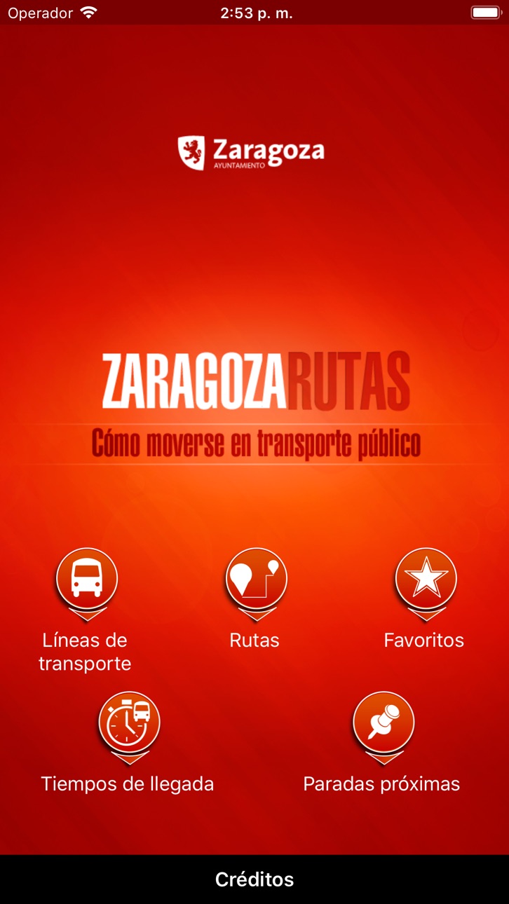
Zaragoza City Council official application to calculate the best route to move inside the city using public transport.
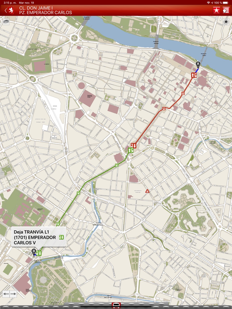
It allows citizens to plan their trips in Zaragoza on real time calculating personalized itineraries in function of their preferences regarding to the use of tramway and/ or bus (including buses to rural neighbourhood), specific time and day of the week, etc.; always employing official and updated information. In this way, journey duration will be minimized and public urban transport mobility improved.
Other remarkable functionalities:
- Interactive map with access to all disposable information in a detailed and usable way.
- Transport network: visualization on a map of the whole network of public transport.
- Detailed route report including trips on foot.
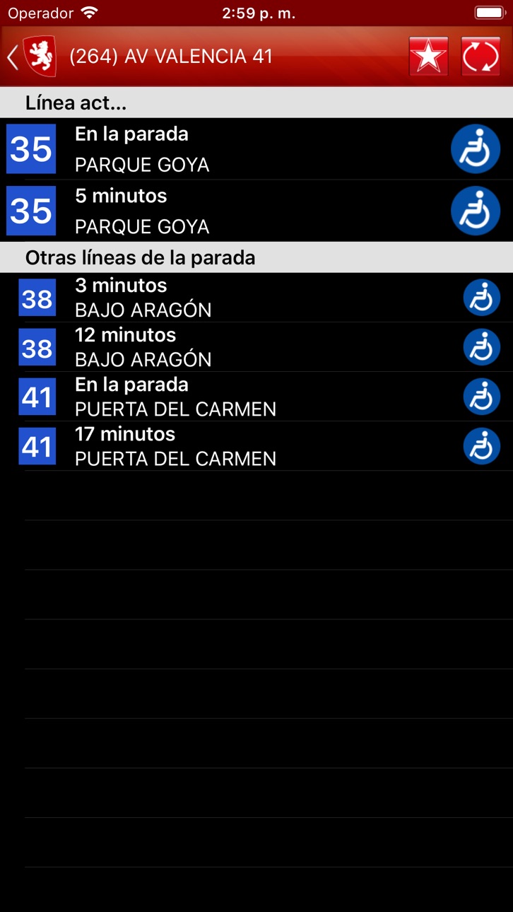
- Arrival time: access to estimation of arrival times to each stop.
- Favourites: possibility of saving favourite routes and stops to facilitate access to information.
Information provided by Zaragoza City Council (http://www.zaragoza.es). Developed by GeoSLab (http://www.geoslab.com).
If you want to make any suggestion or contribution, please use the Service of Complaints and Suggestions (https://www.zaragoza.es/ciudad/ticketing/verNuevaQuejaAnonima_Ticketing) offered by Zaragoza City Council.
Accessibility
ipadiphonemacrealityDevicetvoswatch
Version history 10 versions
Build 841026498v1.5.22021-03-24 08:41:24
Device dark mode support.
Build 840436511v1.5.12021-02-11 08:04:31
Adapt interface to iOS14.
Build 833672041v1.52019-11-21 17:04:22
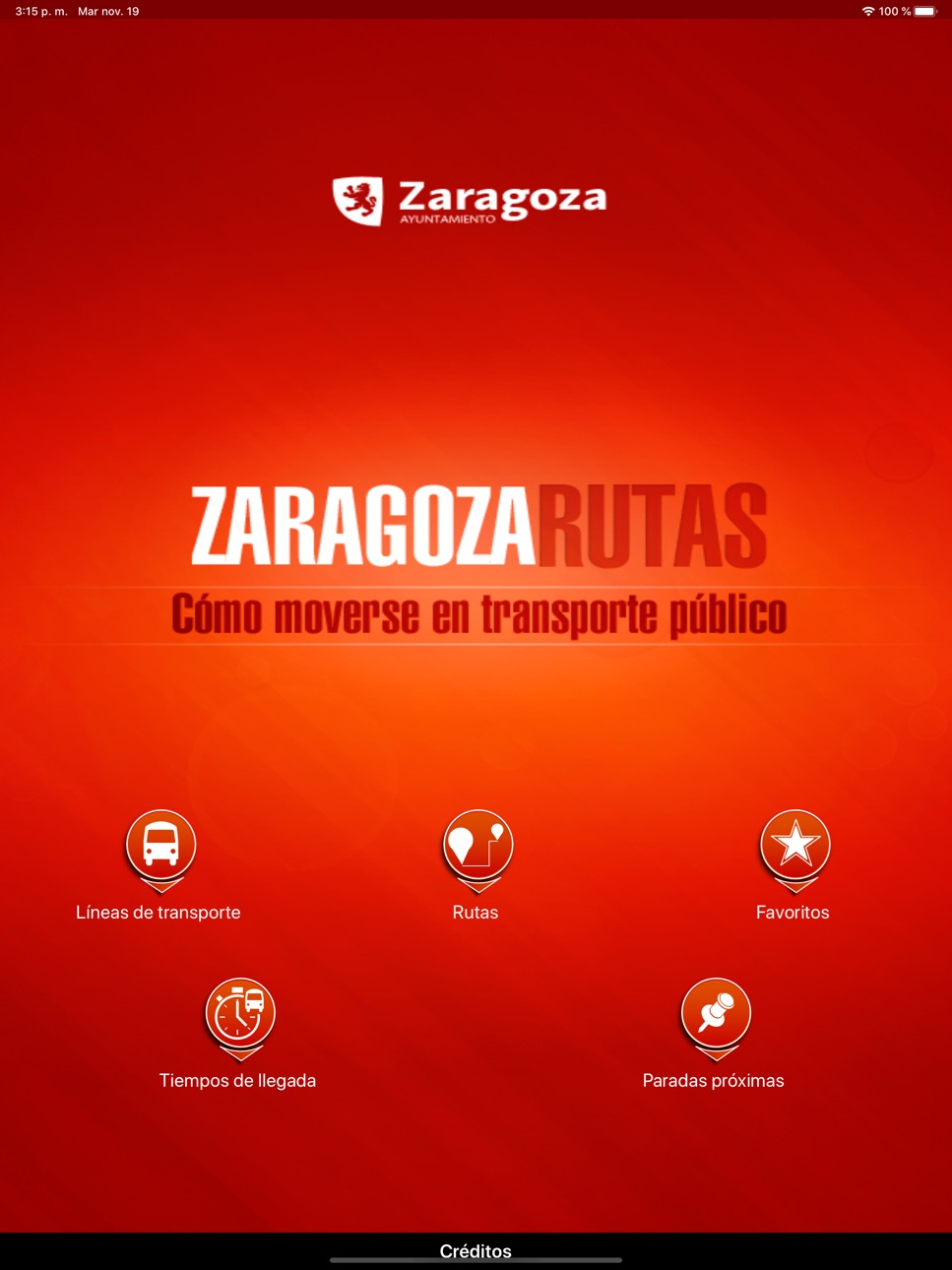
Adapt interface to iPad terminals.
Build 822658142v1.4.12017-06-26 08:07:25
· We inform of the DETOURS in the stops in real time.
Build 819794108v1.42016-11-30 09:02:07
· You can already know the accessibility of the urban buses pending to arrive at your stop (an icon next to the minutes for the arrival indicates if it has adapted ramp)
· Know instantly the incidences of the service. An alert when starting the app will show you the real-time issues.
Build 813448071v1.3.12015-10-02 07:54:51
Version 1.3.1:
- Optimizing for iOS9
Version 1.3:
- New feature!: Display of next stops on the map and access of list sorted by distance.
- New feature!: Search of stops by post code and QR to access the expected wait time.
- Display on the map of traffic-related incidents and urban transport.
- Adoption of the new coordinate system of official reference in Spain (ETRS89)
Build 812561381v1.32015-06-11 16:56:46
- New feature!: Display of next stops on the map and access of list sorted by distance.
- New feature!: Search of stops by post code and QR to access the expected wait time.
- Display on the map of traffic-related incidents and urban transport.
- Adoption of the new coordinate system of official reference in Spain (ETRS89)
Build 595362655v1.22014-06-08 18:13:54
Buses to rural neighbourhood now available!
· Access to the waiting time at the buses to rural neighbourhood available
· Ability to save stops of buses to rural neighbourhood as favorites
Ability to select specific time and day of the week while calculating personalized itineraries according to line timetables and waiting times now available!
Build 421552631v1.12014-03-05 15:27:25
Real-time tramway waiting time now available!
· access to the waiting time at the tram available
· ability to save tram stops as favorites
Build 15286431v1.02013-05-30 16:03:08
No pricing data captured yet — comparisons appear once the app has paid storefronts or in-app purchases.
Availability 1 of 1 storefronts
| Region | Language | Price | Ratings | Avg | Version |
|---|---|---|---|---|---|
| US | en-US | Free | 0 | — | 1.5.2 |
Change log 13 changes · US
✎
releaseNotes updated
Device dark mode support.
✎
description updated
Zaragoza City Council official application to calculate the best route to move inside the city using public transport.
It allows citizens to plan their trips i
✎
name updated
Zaragoza Routes
◆
Version 1.5.2 released
Device dark mode support.
◆
Version 1.5.1 released
Adapt interface to iOS14.
◆
Version 1.5 released
Adapt interface to iPad terminals.
◆
Version 1.4.1 released
· We inform of the DETOURS in the stops in real time.
◆
Version 1.4 released
· You can already know the accessibility of the urban buses pending to arrive at your stop (an icon next to the minutes for the arrival indicates if it has adapted ramp)
· Know instantly the incidences of the service. An alert when starting
◆
Version 1.3.1 released
Version 1.3.1:
- Optimizing for iOS9
Version 1.3:
- New feature!: Display of next stops on the map and access of list sorted by distance.
- New feature!: Search of stops by post code and QR to access the expected wait time.
- Display on the
◆
Version 1.3 released
- New feature!: Display of next stops on the map and access of list sorted by distance.
- New feature!: Search of stops by post code and QR to access the expected wait time.
- Display on the map of traffic-related incidents and urban transp
◆
Version 1.2 released
Buses to rural neighbourhood now available!
· Access to the waiting time at the buses to rural neighbourhood available
· Ability to save stops of buses to rural neighbourhood as favorites
Ability to select specific time and day of the wee
◆
Version 1.1 released
Real-time tramway waiting time now available!
· access to the waiting time at the tram available
· ability to save tram stops as favorites
◆
Version 1.0 released