Home › Utilities

 US
US
1 of 1 storefronts
Content in en-US
Content in en-US
Information
Apple ID437190196
Bundle IDcom.eggis.geoid
SellerSeller
Min iOS7.1
Min macOS11.0
Device familiesiphone, ipad, ipod
Released2011-05-18
Copyright© 2014 Sang Ho Lee
Preview 2 platforms
iPhone 5 images




iPad 5 images


What’s New Version 1.80
This update from Apple will improve the functionality of this app. No new features are included.
iOS 8 compatibility and bug fix.
Description
* Note : This app uses built-in magnetometer, so iPod Touch does not provides direction of structure/device.
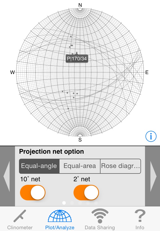
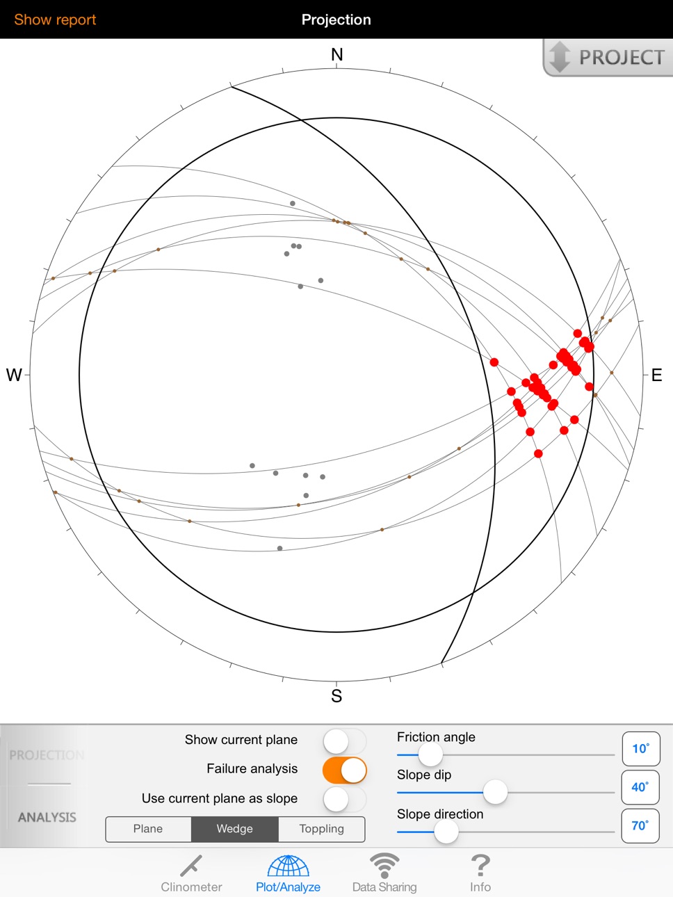
GeoID is a professional tool for measuring and analyzing geological structures. This application includes geological compass, stereographic projection, instability analysis and wireless data sharing.
• Features
- The clinometer works with all attitude of the device and enables user to measure any structure
- A stability indicator in the clinometer maximizes its accuracy
- Provides many options including notation type, measurement interval, avarage calculation, projection type, etc.
- Can input data manually using several input methods
- Immediate projection and analysis of selected project
- Provides stereonet-based slope stability analysis
- Supports zooming while plotting/analyzing
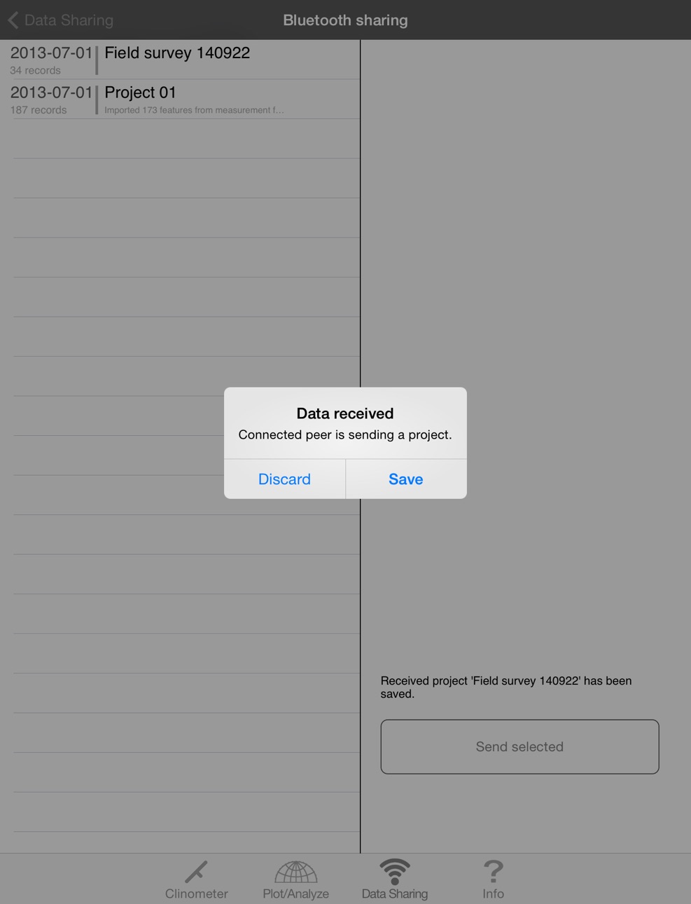
- Wireless data transferring via Bluetooth and E-mail
- Generates analysis reports with stereonet images and sends them by e-mail
- Supports all iOS devices
Developed by Engineering Geology & GIS Lab.,
Dept. of Energy Systems Engineering,
Seoul National University, South Korea.
Prof. Hyeong Dong Park wishes to express thanks to Prof. Edward Keller and other faculty members of the Earth Sciences Department of University of California Santa Barbara for the useful suggestions and discussions on the improvement of GeoID during Prof. Park's academic visit from 2011-2013.
Accessibility
ipadiphonemacrealityDevicetvoswatch
Version history 15 versions
Build 757943213v1.802014-10-29 23:28:35
This update from Apple will improve the functionality of this app. No new features are included.
iOS 8 compatibility and bug fix.
Build 15590040v1.712013-06-13 22:12:30
Minor bug fix.
Build 13800262v1.702013-02-02 02:28:44
- Supports iPhone 5 and iOS 6.
- Manual input utility accepts decimals. The numbers are expressed as integers but they contains information below decimal point.
- Instability analyses can be performed on any projection methods.
- Can input variables for instability analysis using keypad.
- Exported files can be e-mailed with all photos on iPhone.
- A project can be e-mailed with photos using E-mail utility on iPhone.
- Fixed a problem that decreases precision of latitude/longitude while sending project wirelessly.
Build 10949029v1.622012-09-28 01:28:58
- The clinometer will beep differently if the device is "Unstable".
- Records lat/long coordinates to 8 decimal places.
- Minor bugs fixed
Build 10290842v1.612012-09-01 00:25:38
- Exported file now contains image's name correctly.
Build 9349350v1.62012-07-17 19:43:10
- Strike/Dip expression follows right-hand rule (looking to the strike of a structure, it dips to the right). You don't have to follow this convention while recording manually.
- Strike/Dip notation has been added to the manual input function.
- Beep-function has also been added to the iPad version.
Thank you for using GeoID.
If you have any problem or question, contact us : geoid@hotmail.co.kr
Build 8005084v1.532012-05-18 20:38:01
- Clinometer plays beep sound when measure (optional)
- Minor bug fix
Build 7866476v1.522012-05-11 01:58:03
- Bug fix
Build 7240583v1.512012-03-30 22:46:45
- Fixed bugs
Build 7094645v1.52012-03-23 01:46:07
- Increased stability
- Updated method for measuring lineation
- Intersections respond to touch like other structures on stereonet
- Supports autorotation
- Supports photo / description recording for each data (iPhone only)
* Photos are not transmitted via wireless sharing module.
Build 4153940v1.42011-09-16 17:39:16
- iPad support.
Build 4141453v1.32011-09-12 23:19:58
- Increased stability
- Minor bug fixes
Build 3857120v1.22011-06-27 22:51:48
- Structures on stereogram show their orientations in response to touch.
- 'Manual input' mode includes more structural options such as a plane containing two lines, a lineation formed by the intersection of two planes, etc.
Build 3757002v1.12011-05-25 22:15:28
• Clinometer
- Fixed the default updating interval(0.10s).
- Magnetic sensor calibration message will be appeared when interference is occurred.
• Plot & Analysis
- Added buttons for scrolling the option panel.
- Provides text report of plotted(and analyzed) data. It can be exported to a text file or sent by E-mail including a picture of the stereographic projection.
• Data Sharing
- Provides a new function that exports all projects to a file(TXT or CSV format).
• Misc
- You can access the raw database and exported files using iTunes.
Build 3715836v1.02011-05-18 17:21:48
Price history by region
Currency
Show
Columns
Search
Availability 1 of 1 storefronts
| Region | Language | Price | Ratings | Avg | Version |
|---|---|---|---|---|---|
| US | en-US | USD 5.99 | 3 | 5.0 | 1.80 |
Change log 18 changes · US
✎
releaseNotes updated
This update from Apple will improve the functionality of this app. No new features are included.
iOS 8 compatibility and bug fix.
✎
description updated
* Note : This app uses built-in magnetometer, so iPod Touch does not provides direction of structure/device.
GeoID is a professional tool for measuring and ana
✎
name updated
GeoID
◆
Version 1.80 released
This update from Apple will improve the functionality of this app. No new features are included.
iOS 8 compatibility and bug fix.
◆
Version 1.71 released
Minor bug fix.
◆
Version 1.70 released
- Supports iPhone 5 and iOS 6.
- Manual input utility accepts decimals. The numbers are expressed as integers but they contains information below decimal point.
- Instability analyses can be performed on any projection methods.
- Can input
◆
Version 1.62 released
- The clinometer will beep differently if the device is "Unstable".
- Records lat/long coordinates to 8 decimal places.
- Minor bugs fixed
◆
Version 1.61 released
- Exported file now contains image's name correctly.
◆
Version 1.6 released
- Strike/Dip expression follows right-hand rule (looking to the strike of a structure, it dips to the right). You don't have to follow this convention while recording manually.
- Strike/Dip notation has been added to the manual input functi
◆
Version 1.53 released
- Clinometer plays beep sound when measure (optional)
- Minor bug fix
◆
Version 1.52 released
- Bug fix
◆
Version 1.51 released
- Fixed bugs
◆
Version 1.5 released
- Increased stability
- Updated method for measuring lineation
- Intersections respond to touch like other structures on stereonet
- Supports autorotation
- Supports photo / description recording for each data (iPhone only)
* Photos are not
◆
Version 1.4 released
- iPad support.
◆
Version 1.3 released
- Increased stability
- Minor bug fixes
◆
Version 1.2 released
- Structures on stereogram show their orientations in response to touch.
- 'Manual input' mode includes more structural options such as a plane containing two lines, a lineation formed by the intersection of two planes, etc.
◆
Version 1.1 released
• Clinometer
- Fixed the default updating interval(0.10s).
- Magnetic sensor calibration message will be appeared when interference is occurred.
• Plot & Analysis
- Added buttons for scrolling the option panel.
- Provides text repor
◆
Version 1.0 released