Home › Navigation

 US
US
1 of 1 storefronts
Content in en-US
Content in en-US
Information
Preview 2 platforms
iPhone 6 images


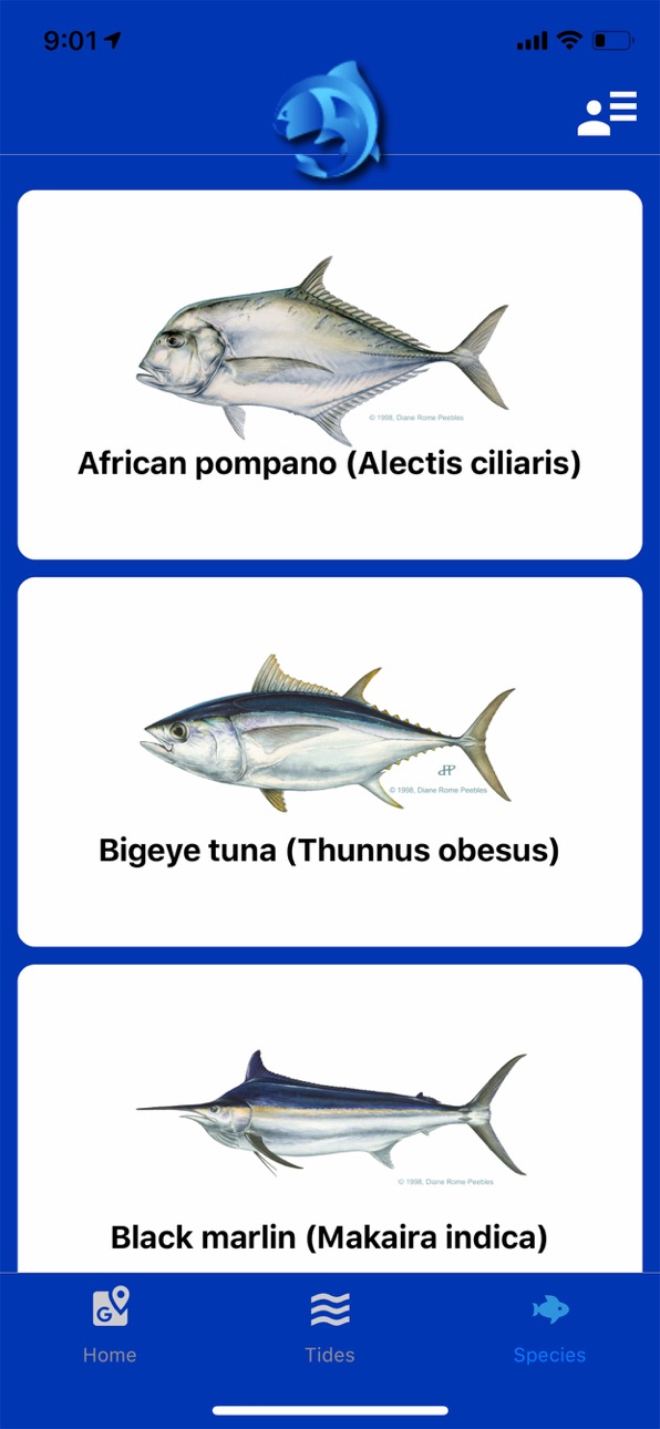
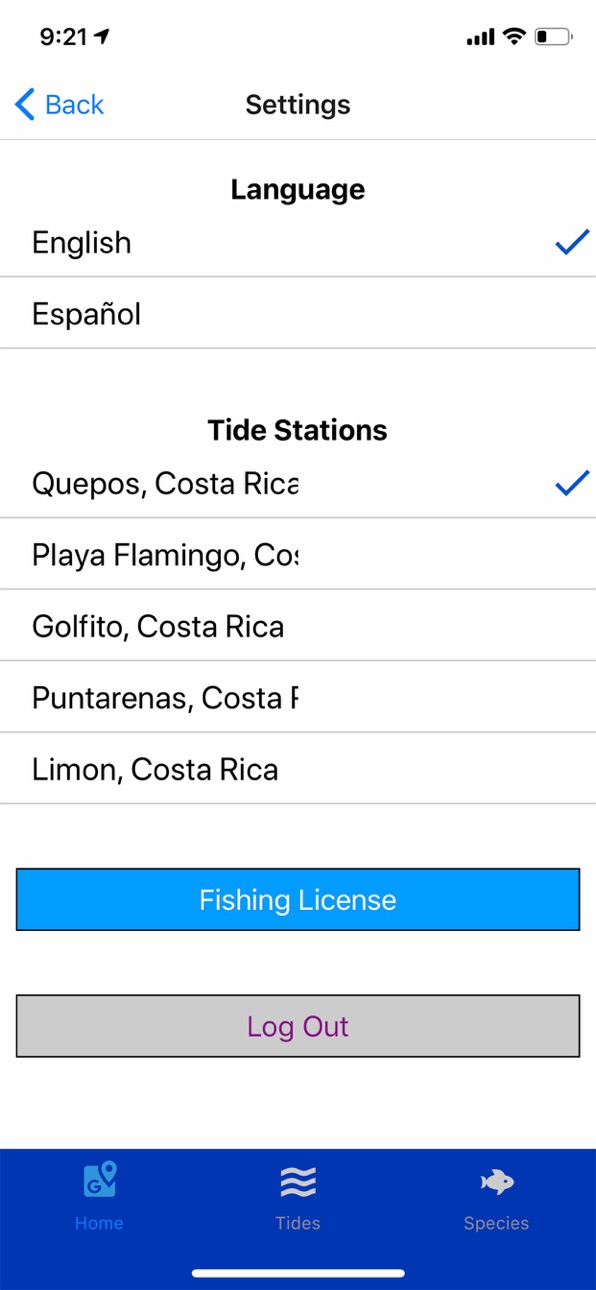
iPad 5 images


What’s New Version 3.3.1
Fixed Map Position Bug
Description
Developed by the Federación Costarricense de Pesca (FECOP) in Costa Rica in collaboration with Sancochero Labs, pezCA is a near-real-time satellite and model data distribution platform for the Central America region designed to allow monitoring of the ocean confitions while promoting good fishing practices. PezCA allows free access to information, even while offline, offering updated maps of sea surface temperature, chlorophyll concentration, currents speed and direction, altimetry, bathymetry, and the depth of the thermocline. In addition, tide forecast, moon phases, and
fishing information are available. A great tool for commercial and recreational fishermen, the tourism industry, and communities in general, with pezCA you can:
Access near real time maps of satellite data for the Atlantic and Pacific Oceans along Central America (0-19°N, 76.5-96°W) and get data values for your points of interest.
View the bathymetry and get bottom depth readings.
Overlay high-resolution satellite sea surface temperature and surface chlorophyll concentrations and get data for your points of interest, even while offline.
View maps with the latest speed and direction of the ocean currents, the depth of the thermocline, and sea level anomalies, and get values for your area.
Access information on tides and moon phases.
Review facts on the most common fish species in the region, including sizes, reproductive periods, and fishing information.
Review local laws and regulations.
Purchase your Costa Rica fishing license online!
Stay up to date on everything that’s happening with real-time notifications of weather events, red tides, fishing bans, tournaments, etc.
If you have questions or need additional information, please visit www.fecop.org
Accessibility
ipadiphonemacrealityDevicetvoswatch
Version history 21 versions
Build 881364039v3.3.12026-01-10 06:08:17
Fixed Map Position Bug
Build 881131919v3.3.02026-01-02 02:45:44
Annual Update
Build 875954118v3.2.72025-06-28 15:41:50
Added distance measuring functionality
Build 873148059v3.2.42025-03-11 13:26:54
Fixed moon calendars and waypoint acccuarcy
Build 865484610v3.2.12024-04-25 21:11:41
New Fish Logging Flow
Various Bug Fixes
Build 857780330v3.0.82023-06-12 22:45:07
Improved Caching for imagery and tide data.
Build 857534721v3.0.52023-06-04 11:56:07
We have improved image caching and updated all libraries to the latest versions.
Build 850742198v3.0.12022-07-13 10:08:13
Fixed font size issues
Added ability to delete users account from the Settings page
Build 850317052v3.02022-06-29 15:08:19
We have added the ability to view your saved waypoints over historical weather imagery.
Build 840105456v2.7.22021-01-20 11:27:51
Moons bug fix
Build 836893111v2.7.02020-11-30 20:58:48
Users can now add waypoints
Build 836861197v2.5.32020-07-17 09:17:29
Fixed Header Layout
Build 836765403v2.5.22020-07-10 02:31:26
Major update for iOS 13
Build 835542903v1.72020-04-15 03:23:54
Fixed data accuracy over land issues
Build 834973285v1.62020-03-04 22:23:52
Fixed Sea Surface Temperature Initial load and Coordinate format.
Build 834828965v1.52020-02-23 19:07:17
Latitude Longitude Format Fix and Image Toggle Button responsiveness improvements.
Build 834659025v1.42020-02-11 13:11:47
Bug fixes including units
Build 834636818v1.32020-02-09 13:42:33
Various bug fixes.
Build 834619295v1.22020-02-06 18:25:12
Registration Bug Fix
Build 834579187v1.12020-02-04 15:16:35
Moon phase images added and various other fixes
Build 831377712v1.02020-01-08 14:13:09
No pricing data captured yet — comparisons appear once the app has paid storefronts or in-app purchases.
Availability 1 of 1 storefronts
| Region | Language | Price | Ratings | Avg | Version |
|---|---|---|---|---|---|
| US | en-US | Free | 3 | 5.0 | 3.3.1 |
Change log 25 changes · US
✎
releaseNotes updated
Fixed Map Position Bug
✎
description updated
Developed by the Federación Costarricense de Pesca (FECOP) in Costa Rica in collaboration with Sancochero Labs, pezCA is a near-real-time satellite and model da
✎
subtitle updated
Fecop Incopesca App
✎
name updated
PezCA
◆
Version 3.3.1 released
Fixed Map Position Bug
◆
Version 3.3.0 released
Annual Update
◆
Version 3.2.7 released
Added distance measuring functionality
◆
Version 3.2.4 released
Fixed moon calendars and waypoint acccuarcy
◆
Version 3.2.1 released
New Fish Logging Flow
Various Bug Fixes
◆
Version 3.0.8 released
Improved Caching for imagery and tide data.
◆
Version 3.0.5 released
We have improved image caching and updated all libraries to the latest versions.
◆
Version 3.0.1 released
Fixed font size issues
Added ability to delete users account from the Settings page
◆
Version 3.0 released
We have added the ability to view your saved waypoints over historical weather imagery.
◆
Version 2.7.2 released
Moons bug fix
◆
Version 2.7.0 released
Users can now add waypoints
◆
Version 2.5.3 released
Fixed Header Layout
◆
Version 2.5.2 released
Major update for iOS 13
◆
Version 1.7 released
Fixed data accuracy over land issues
◆
Version 1.6 released
Fixed Sea Surface Temperature Initial load and Coordinate format.
◆
Version 1.5 released
Latitude Longitude Format Fix and Image Toggle Button responsiveness improvements.
◆
Version 1.4 released
Bug fixes including units
◆
Version 1.3 released
Various bug fixes.
◆
Version 1.2 released
Registration Bug Fix
◆
Version 1.1 released
Moon phase images added and various other fixes
◆
Version 1.0 released