Home › Navigation

 US
US
1 of 1 storefronts
Content in en-US
Content in en-US
Information
Preview 3 platforms
iPhone 6 images



iPad 6 images


Apple Watch 4 images


What’s New Version 1.5.1
Ammersee Chart added.
Performance Improved
Description
***Seawell marine navigation apps provide maps to make life easier and more enjoyable for sailors, fishermen, divers, boaters, and cruisers.
***Ability to Zoom and Pan: Our ZAP has a new feature for intuitive waypoint and route management. You can store and retrieve the real-time markers and favorite waypoints on water. You can zoom and pan effortlessly. Can mark or add favorite spots, dynamically without going back and forth to the chart.
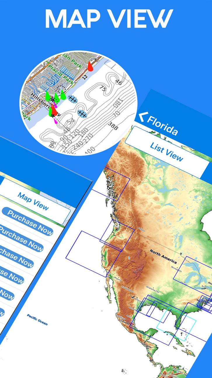
***Purchase of this app includes online maps and a low detailed offline world map. Further, downloading of detailed charts is possible after purchasing through In-App map store provided in the application.
FEATURES:
* Marker: locations can be marked and you can share easily favorite locations with friends and family.
* KMZ: To send your favorite coordinates through e-mail.
* Track: Records your path, and stores the details.
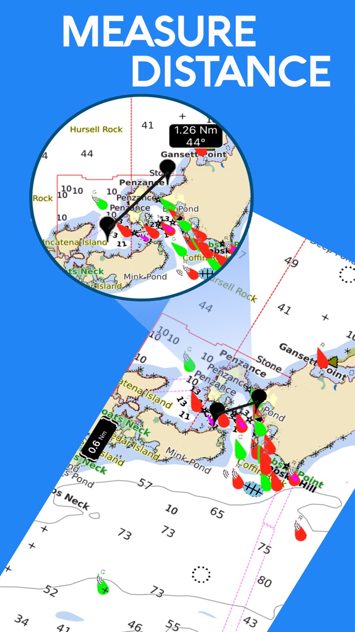
* Measure: Distance can be calculated easily.
* GPS: Location and heading on map.
*Seawell apps can be used in offline mode.
*Seawell has multiple overlays: Offline, Hybrid, Street mode, Topo
*Offline: Only offline maps will be displayed which are useful in situations where there is no Internet connectivity.
*Hybrid: Land areas are covered by satellite imagery.
*Street: Land areas are covered by open street maps.
* Topo: Land areas are covered by topographic maps
*Seawell strives to provide user-friendly apps.
*NOTE: "Continued use of GPS running in the background can decrease battery life”
“Turn off GPS when not in use”
In-App Purchases US pricing
One-Time Purchases
Alabama Offline Nautical Chart$7.99
Marine ALASKA SW Offline Chart$7.99
California Charts For Fishing$7.99
Boating Chesapeake Bay Charts$7.99
Charleston to Key West Charts$7.99
Florida Keys to Texas Charts$7.99
Oregon - Washington$7.99
Marine Alaska SE Offline Chart$8.99
Florida Offline Nautical Chart$8.99
Gulf of Mexico Fishing Charts$9.99
Capabilities
In-App Purchases
Accessibility
ipadiphonemacrealityDevicetvoswatch
Version history 22 versions
Build 850368547v1.5.12022-06-28 01:02:50
Ammersee Chart added.
Performance Improved
Build 850010498v1.52022-06-10 23:49:09
Compatibility with latest iOS
Build 848404857v1.4.62022-04-20 01:53:51
Charts updated
Build 839924561v1.4.52021-01-18 21:32:37
Charts updated
Latest iOS compatibility
Build 838557468v1.4.42020-11-07 14:33:49
Charts data updated
Build 837923489v1.4.32020-09-23 23:22:58
Latest iOS compatibility
Build 837638789v1.4.22020-09-04 16:57:57
Performance improved
Build 837317129v1.4.12020-08-12 01:21:00
Charts updated
Build 836578112v1.42020-06-25 22:08:53
Latest iOS compatibility
Build 835924272v1.3.92020-05-12 19:55:38
Performance improved
Build 833945333v1.3.82020-01-04 15:27:52
Charts added -:
Berlin Lakes
Brazil
Caribbean Sea Fishing
Chiemsee Lake
Dubai
Ilhéus - Luiz Corrêa
Imbituba - Barra do Riacho
Lake Constance
Lake Sihl
Lake Starnberg
Luiz Corrêa - Guiana Francesa
Lungern and Sarnen
Neuchatel and Morat Lake
New Caledonia
New Zealand
São Sebastião - Salvador
Sempach and Baldegg Lake
Shell Lake and Smoky Hills Park
Switzerland - Lucerne
Switzerland Lakes
Thun and Brienz Lake
Urugua to Sao Paulo
West Indies Boating
Zug and Aegeri Lake
Zurich See
Build 833429234v1.3.72019-11-30 21:40:47
Charts updated
Build 833347734v1.3.62019-10-26 16:35:08
Charts added
Build 832375998v1.3.52019-10-25 17:17:44
Latest iOS compatibility
Charts added
Build 832294270v1.3.42019-08-07 13:29:36
Chart data updated
Build 831224715v1.3.32019-05-12 18:21:20
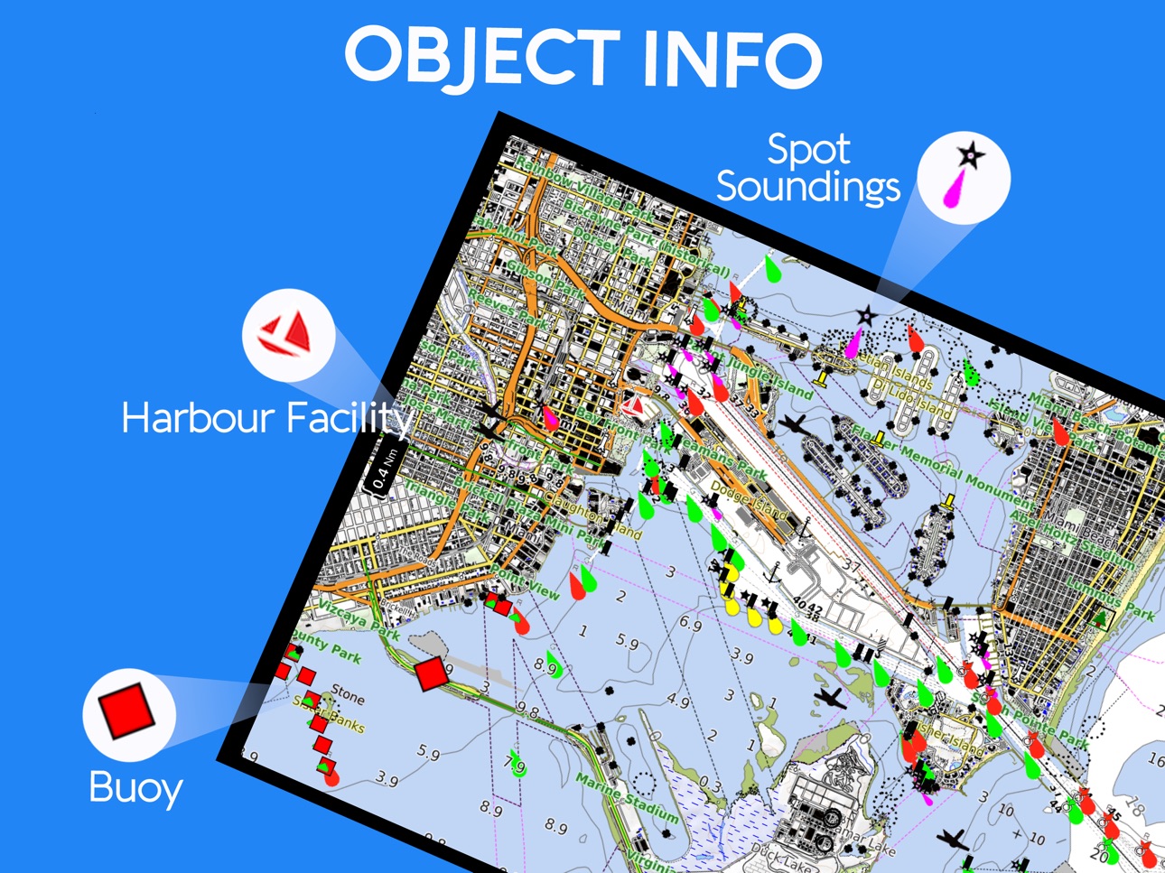
Object Info Updated
Build 830209439v1.3.22019-02-07 18:31:40
GUI Updated
Route Bug Fixed
Build 827273670v1.3.12018-11-27 18:51:31
Latest iOS Compatibility
Build 827119796v1.32018-05-11 19:50:07
New Feature: iWatch App added.
Current location, Speed, COG, Distance from Destination and Bearing will visible on iWatch.
Build 826507119v1.22018-04-02 19:05:02
New Feature-MOB (Man OverBoard) added
Bugs fixed
Build 826202314v1.12018-03-06 18:42:06
Map Store GUI changes.
Minor bug fixes.
Build 825496151v1.02018-02-02 16:31:29
Price history by region
Currency
Show
Columns
Search
Availability 1 of 1 storefronts
| Region | Language | Price | Ratings | Avg | Version |
|---|---|---|---|---|---|
| US | en-US | Free | 12 | 1.3 | 1.5.1 |
Change log 26 changes · US
✎
releaseNotes updated
Ammersee Chart added.
Performance Improved
✎
description updated
***Seawell marine navigation apps provide maps to make life easier and more enjoyable for sailors, fishermen, divers, boaters, and cruisers.
***Ability to Zoom
✎
subtitle updated
Sea Navigation Marine Offline
✎
name updated
Seawell Navigation Charts
◆
Version 1.5.1 released
Ammersee Chart added.
Performance Improved
◆
Version 1.5 released
Compatibility with latest iOS
◆
Version 1.4.6 released
Charts updated
◆
Version 1.4.5 released
Charts updated
Latest iOS compatibility
◆
Version 1.4.4 released
Charts data updated
◆
Version 1.4.3 released
Latest iOS compatibility
◆
Version 1.4.2 released
Performance improved
◆
Version 1.4.1 released
Charts updated
◆
Version 1.4 released
Latest iOS compatibility
◆
Version 1.3.9 released
Performance improved
◆
Version 1.3.8 released
Charts added -:
Berlin Lakes
Brazil
Caribbean Sea Fishing
Chiemsee Lake
Dubai
Ilhéus - Luiz Corrêa
Imbituba - Barra do Riacho
Lake Constance
Lake Sihl
Lake Starnberg
Luiz Corrêa - Guiana Francesa
Lungern and Sarnen
Neuchatel and Morat Lake
◆
Version 1.3.7 released
Charts updated
◆
Version 1.3.6 released
Charts added
◆
Version 1.3.5 released
Latest iOS compatibility
Charts added
◆
Version 1.3.4 released
Chart data updated
◆
Version 1.3.3 released
Object Info Updated
◆
Version 1.3.2 released
GUI Updated
Route Bug Fixed
◆
Version 1.3.1 released
Latest iOS Compatibility
◆
Version 1.3 released
New Feature: iWatch App added.
Current location, Speed, COG, Distance from Destination and Bearing will visible on iWatch.
◆
Version 1.2 released
New Feature-MOB (Man OverBoard) added
Bugs fixed
◆
Version 1.1 released
Map Store GUI changes.
Minor bug fixes.
◆
Version 1.0 released